Søk etter stikkord eller emner i magmageopark.no
Add your offcanvas content in here

Explore the lunar landscape in the Magma Geopark

Nowhere on earth will you get closer to a real lunar landscape than in the Magma UNESCO Global Geopark. The area offers many great hiking trails with special rock formations, and we have selected five highlights for you. 

Magma UNESCO Global Geopark is dominated by the same rock found on the bright parts of the moon, namely anorthosite. The anorthosite in the geopark was formed 930 million years ago when liquid rock (magma) solidified 20 km below the earth's surface. The unique and barren lunar landscape that stretches from Ogna in the north to Flekkefjord in the south has been given UNESCO status.

The Moon Man 

American geologist Harrison Schmitt was the last man to walk on the moon. The trip to the moon took place in 1972, and Schmitt collected rock samples for three days, which he brought back to Earth to, among other things, determine the moon's age. But his fascination with geology, and especially the moon, started long before that. In 1957 and 1958 he was a student at the University of Oslo, and it was his field studies in Egersund that sparked his interest in outer space. He became particularly interested in the moonstone anorthosite on his trips to Western Norway. There are several great places where you can follow in the footsteps of Harrison Schmitt to experience the lunar landscape, and we have selected the best for you. 

Harrison Schmitt was the last man to walk on the moon, in 1972.

Hagavatn – a small lake in the lunar landscape 

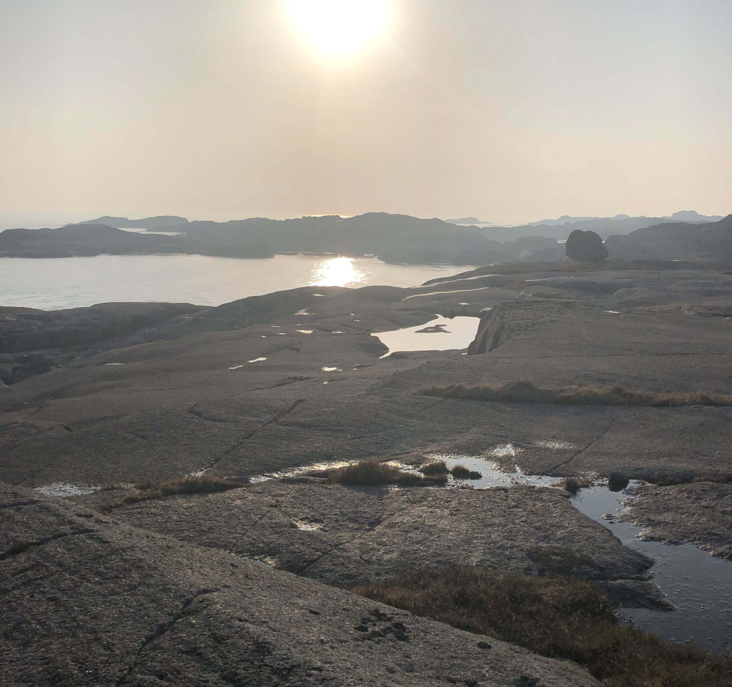
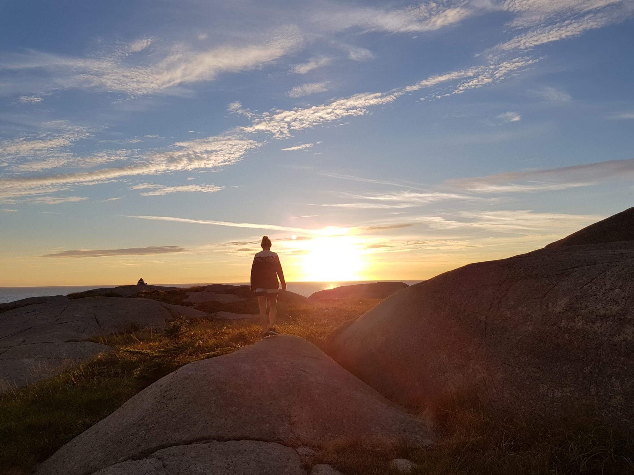
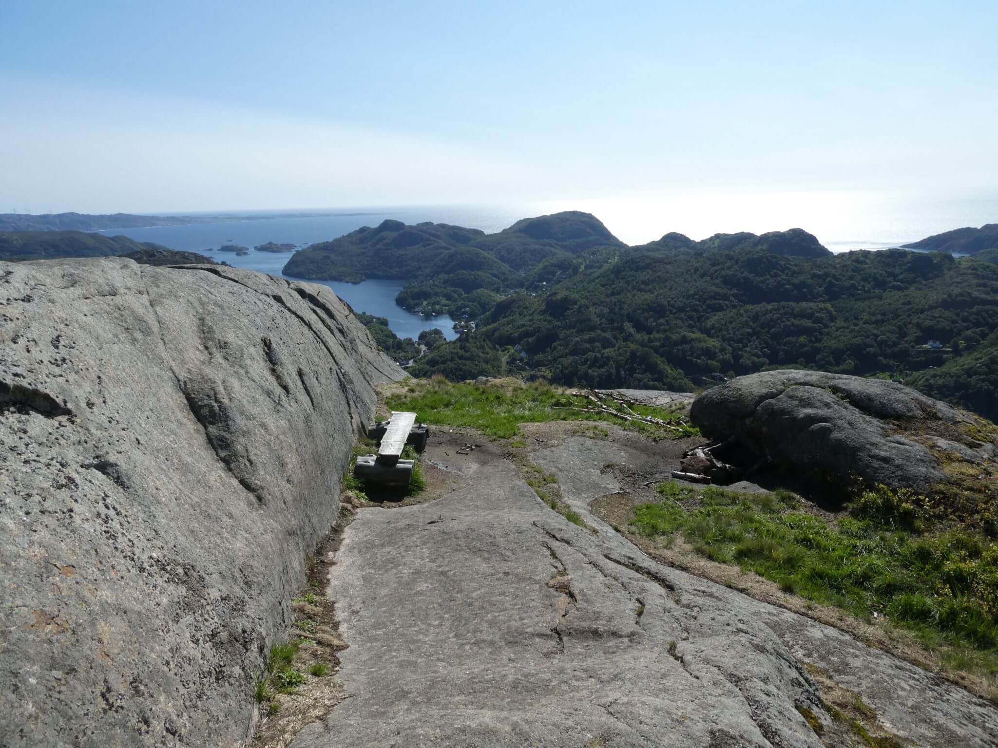
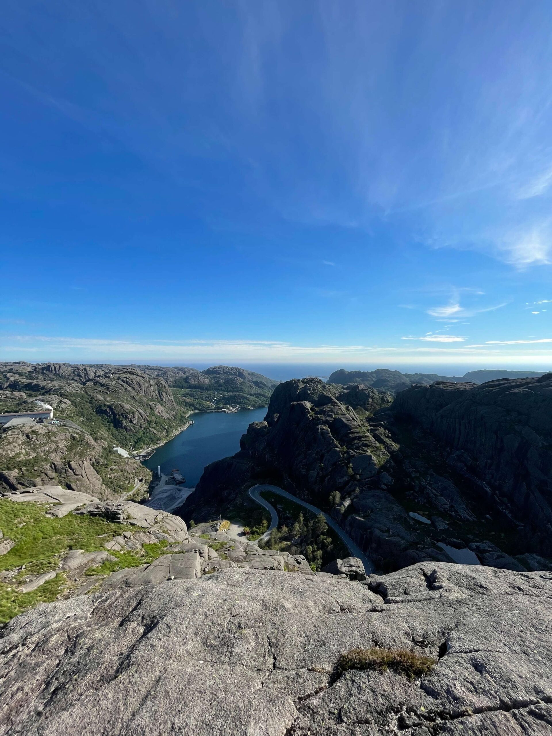
Right out in the sea gap lies the fascinating Hagavatn, just a few meters from the mighty North Sea. A powerful nature experience awaits here in the middle of the unique lunar landscape that Magma Geopark is known for. 

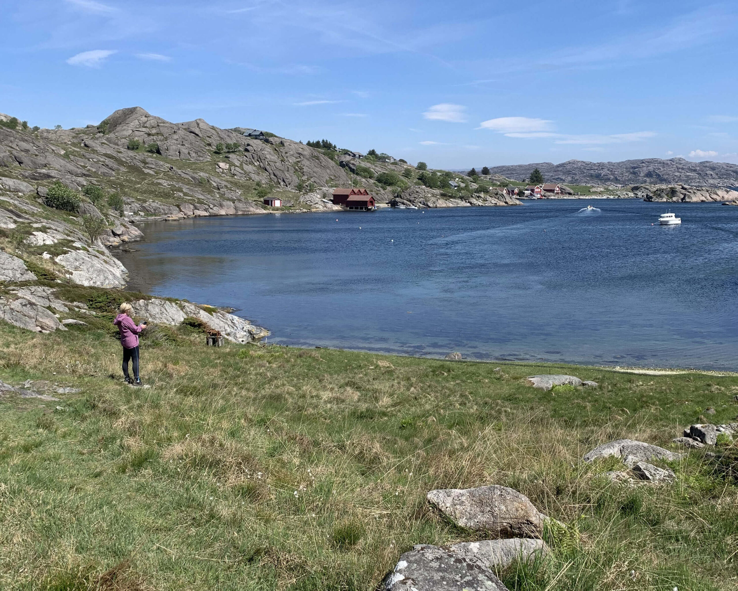
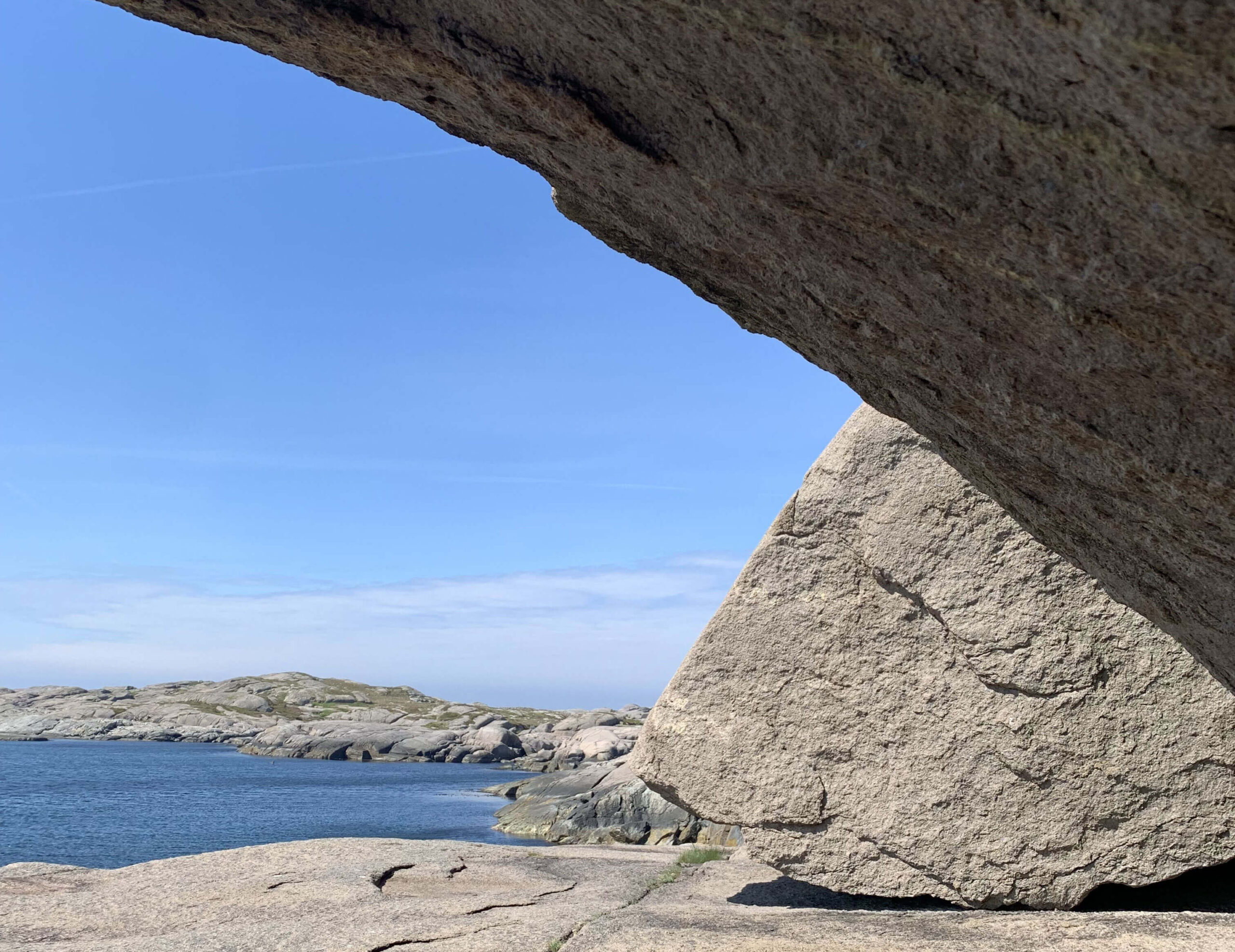
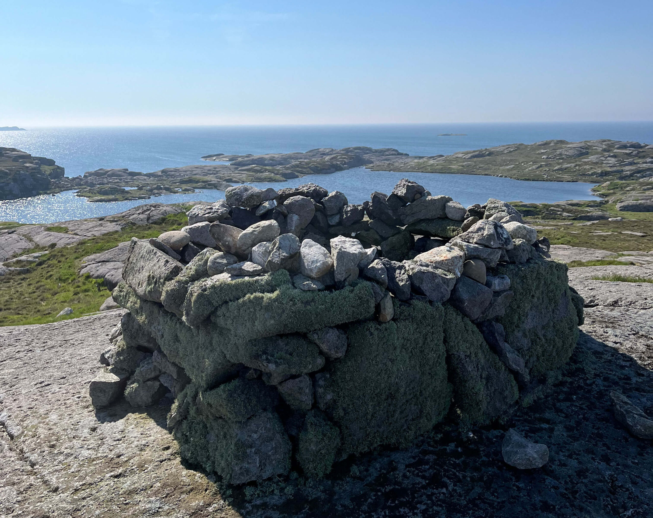
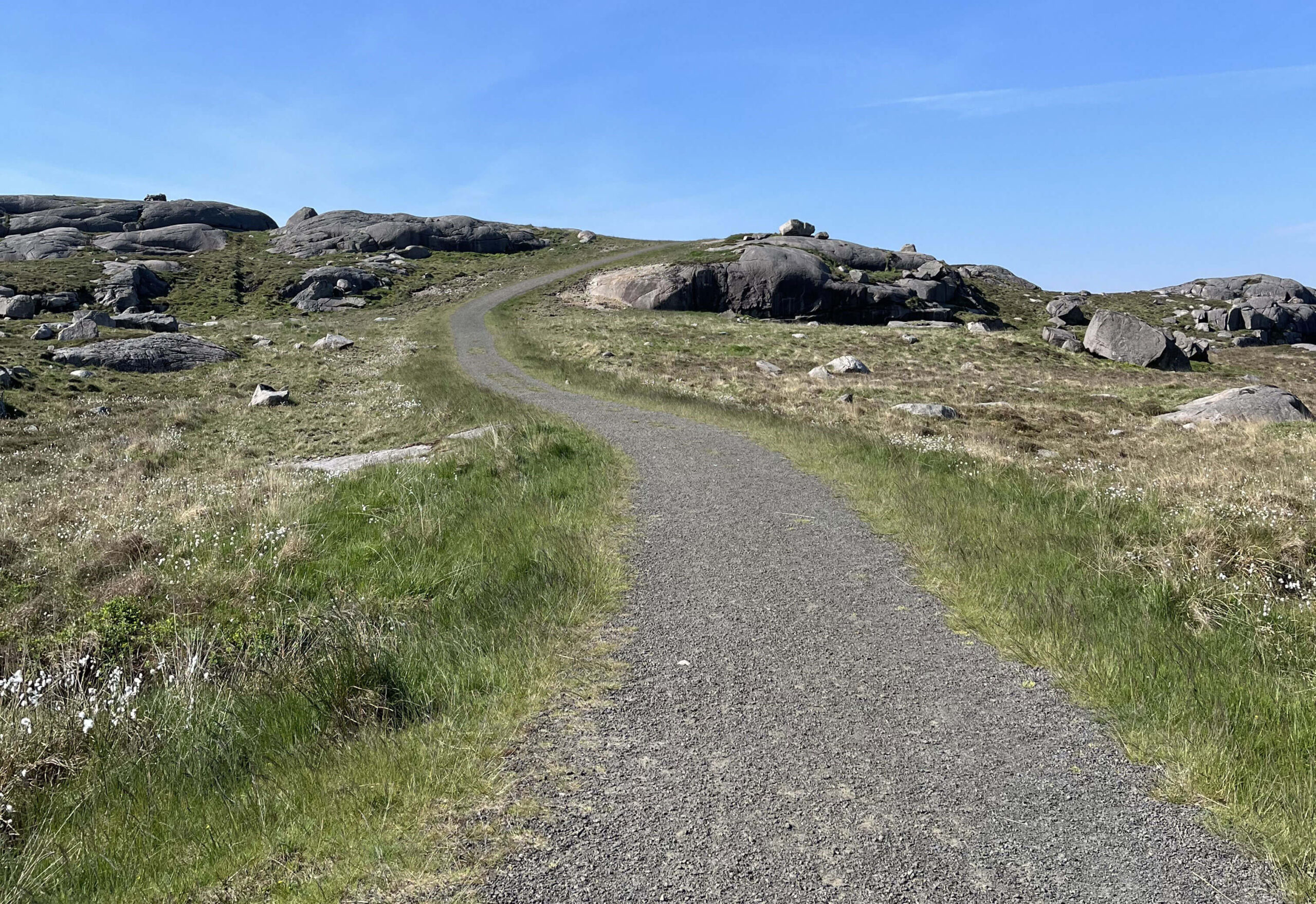
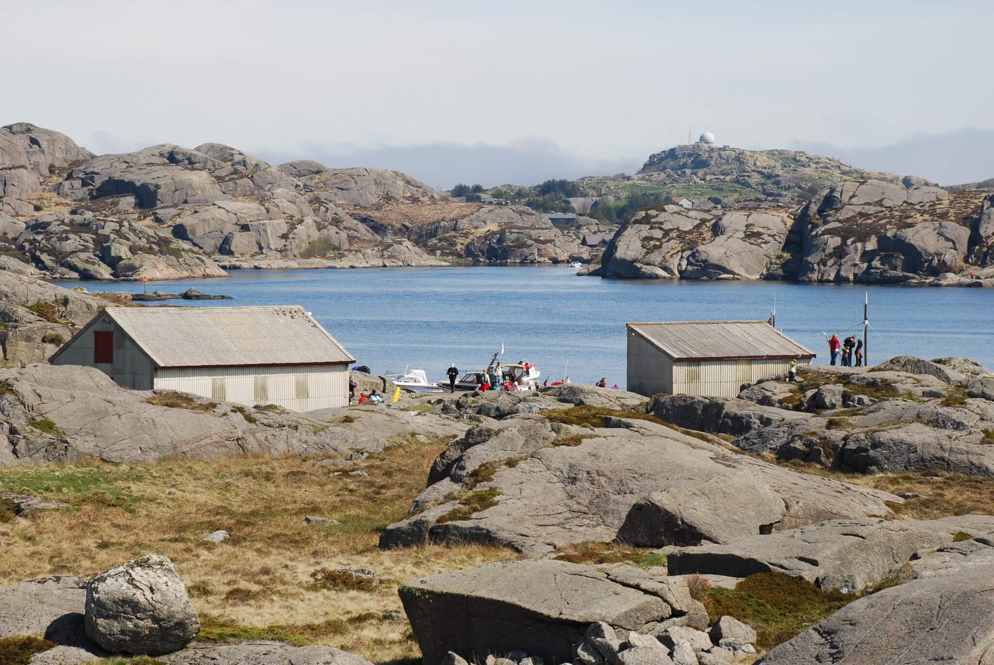
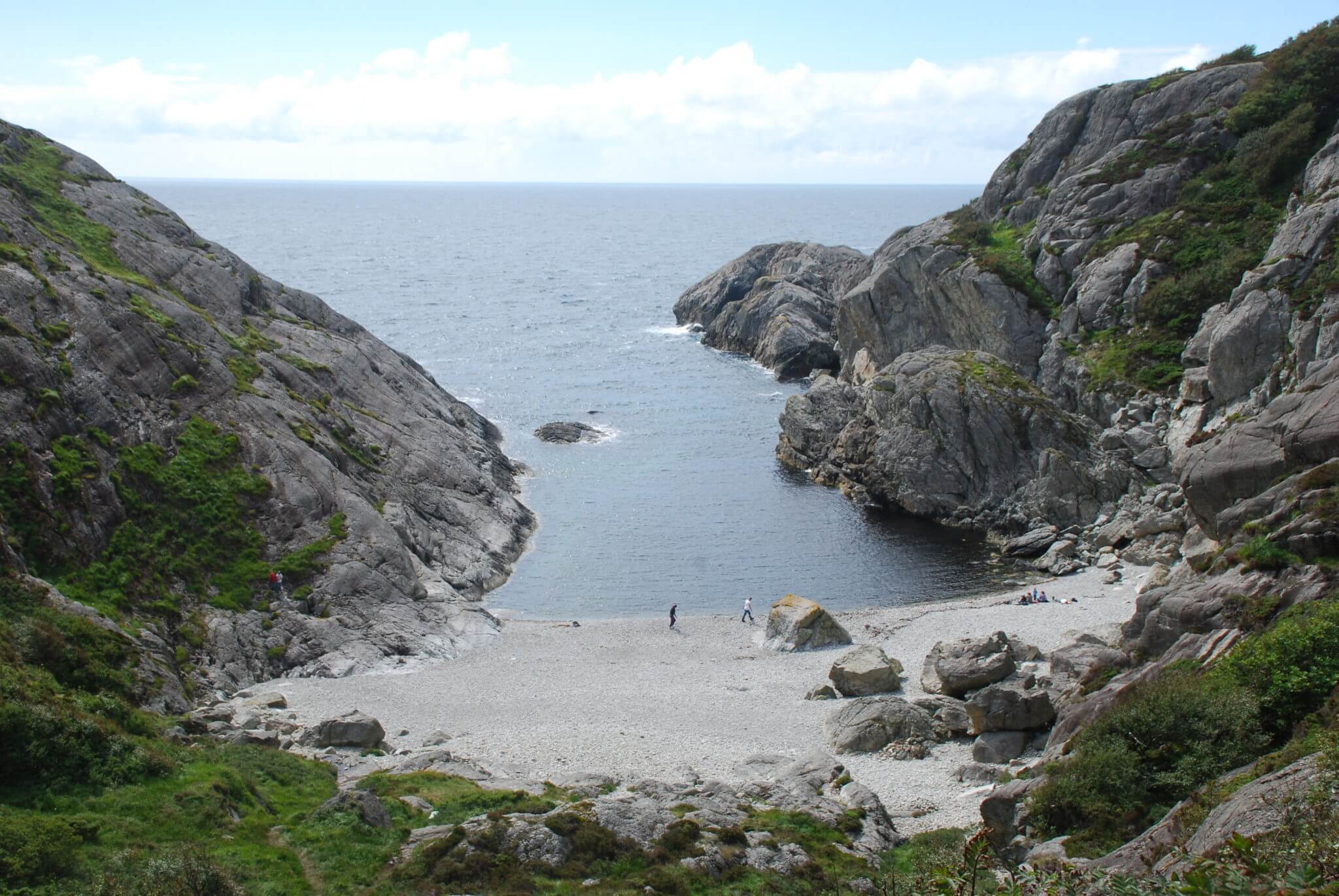
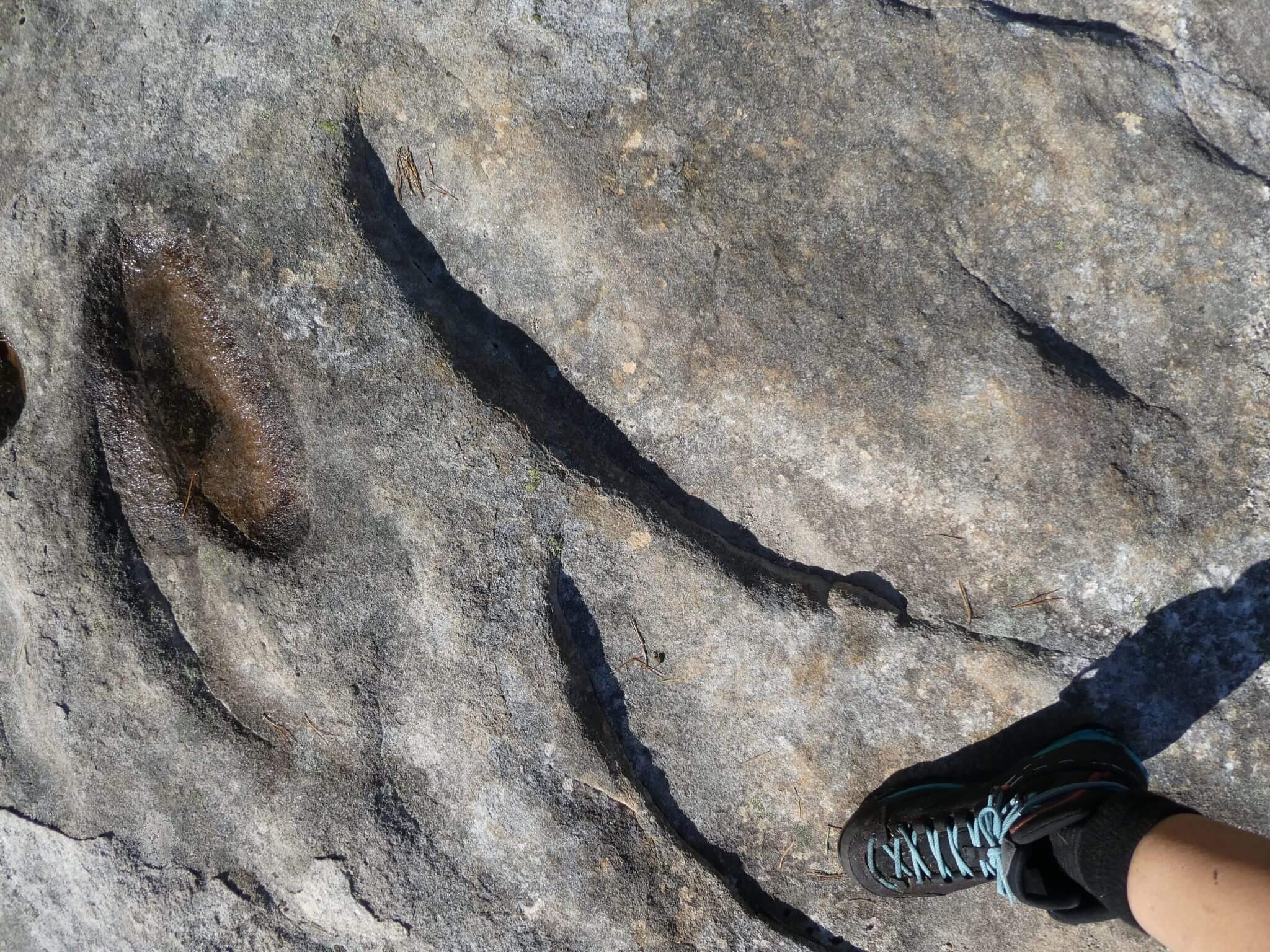
Hagavatn is a small lake on Ytstebrød on Eigerøy. As you stroll along the gravel road along the water, you get an insight into the special coastal and cultural landscape of Dalane. You also see many traces of how the landscape has shaped itself over millions of years. There are plenty of sickle marks, shifting blocks and scouring streaks in the rock. Along the coast you can see traces of the Second World War, and if you continue you will end up in the fishing port of Rausvåg.

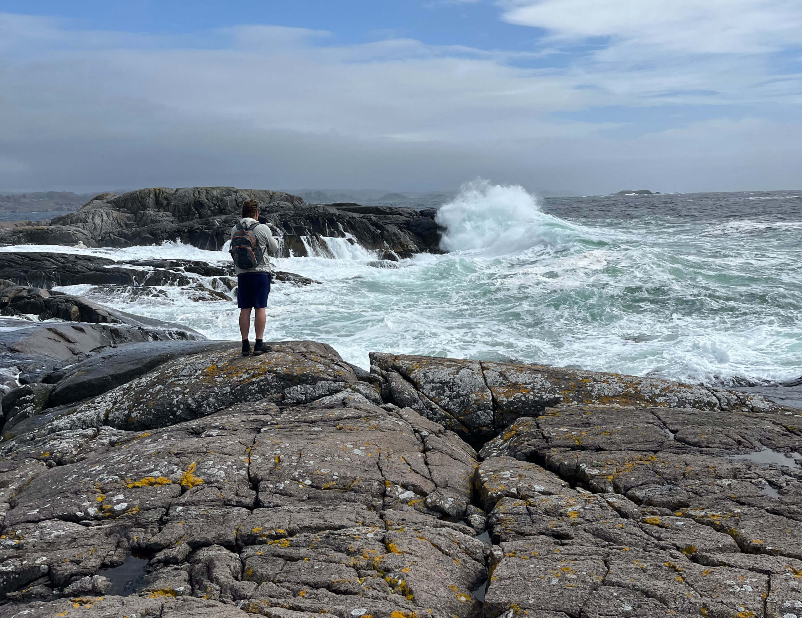
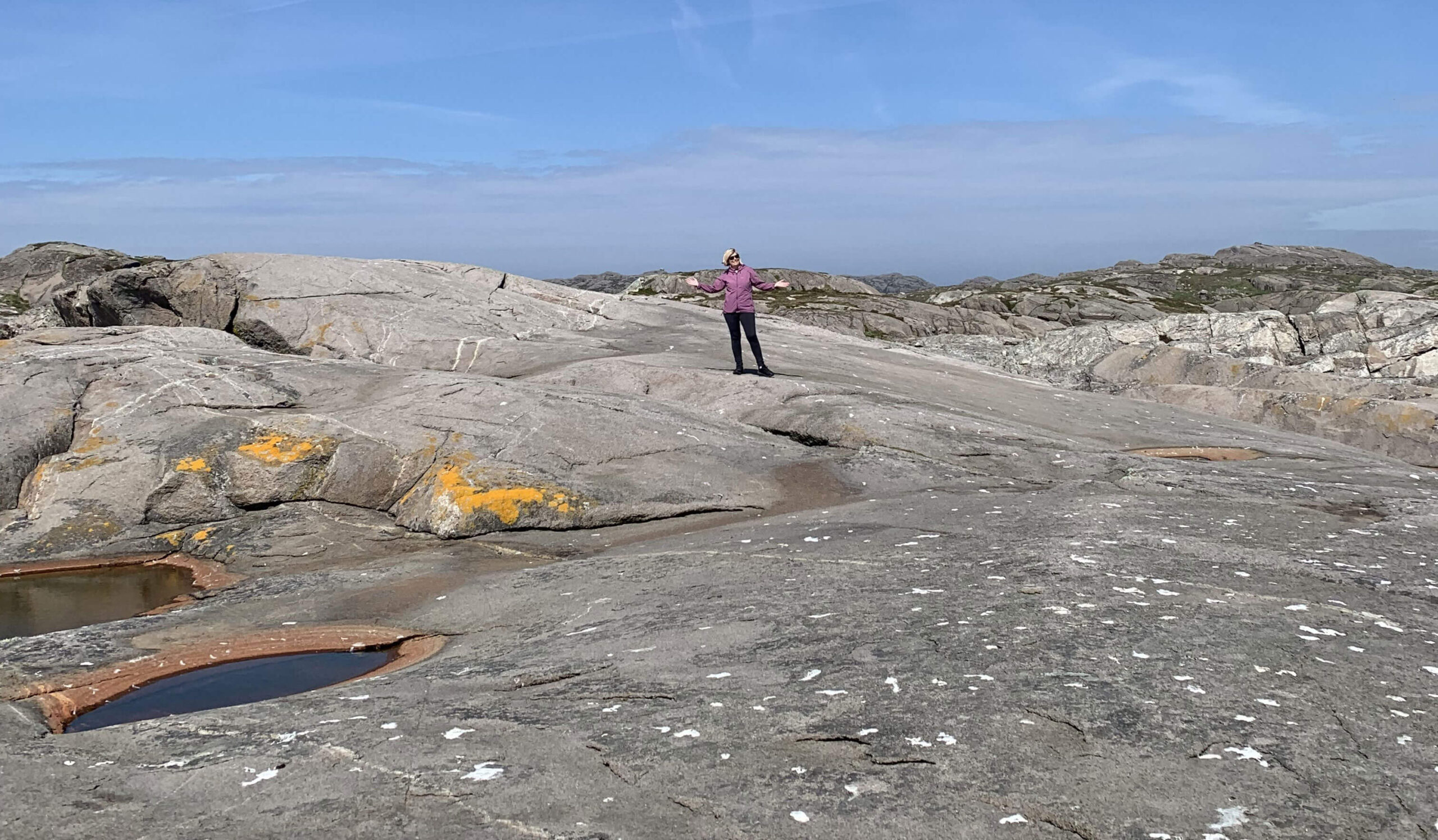
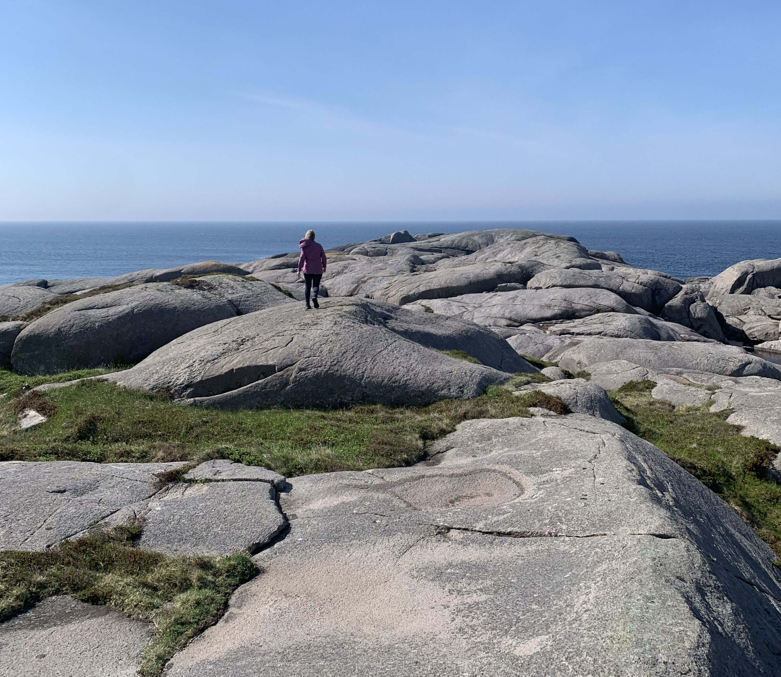
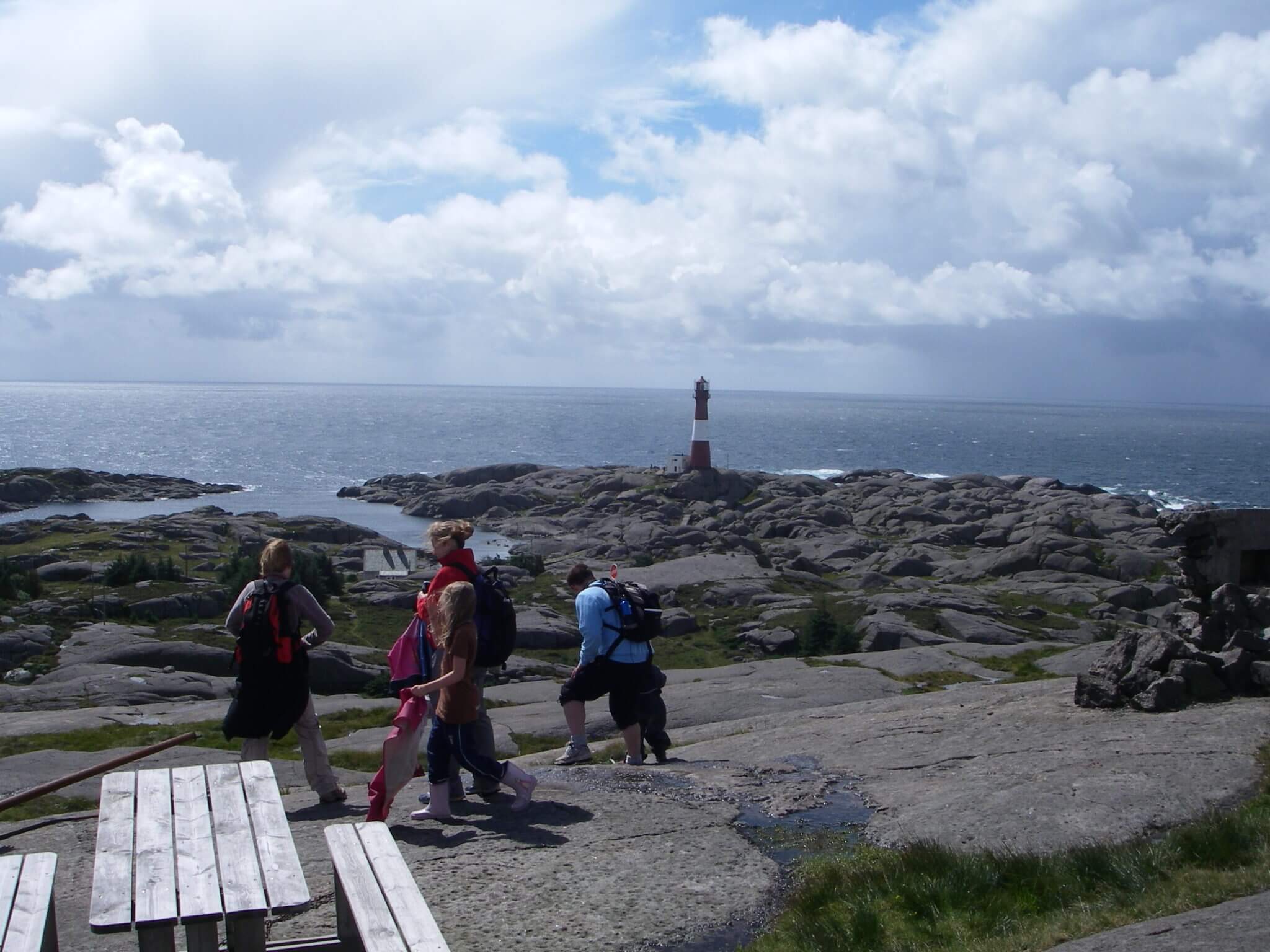
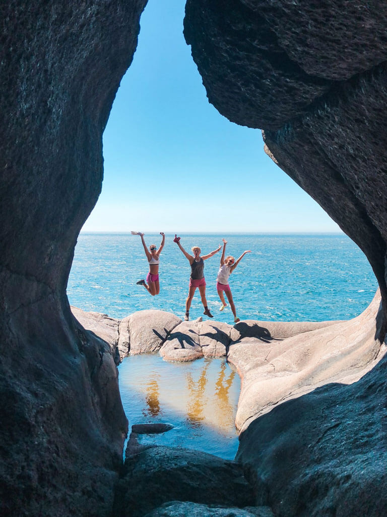
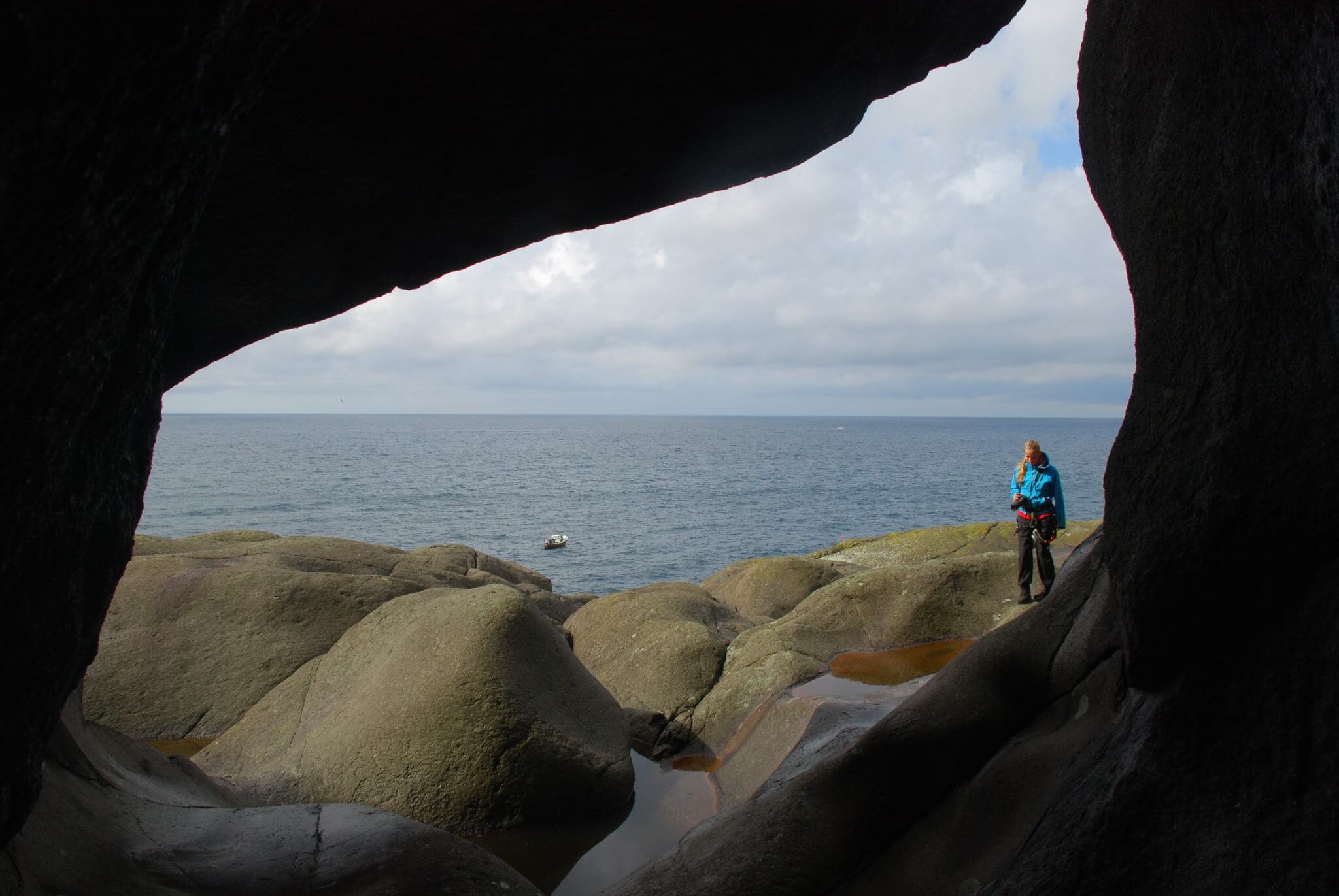
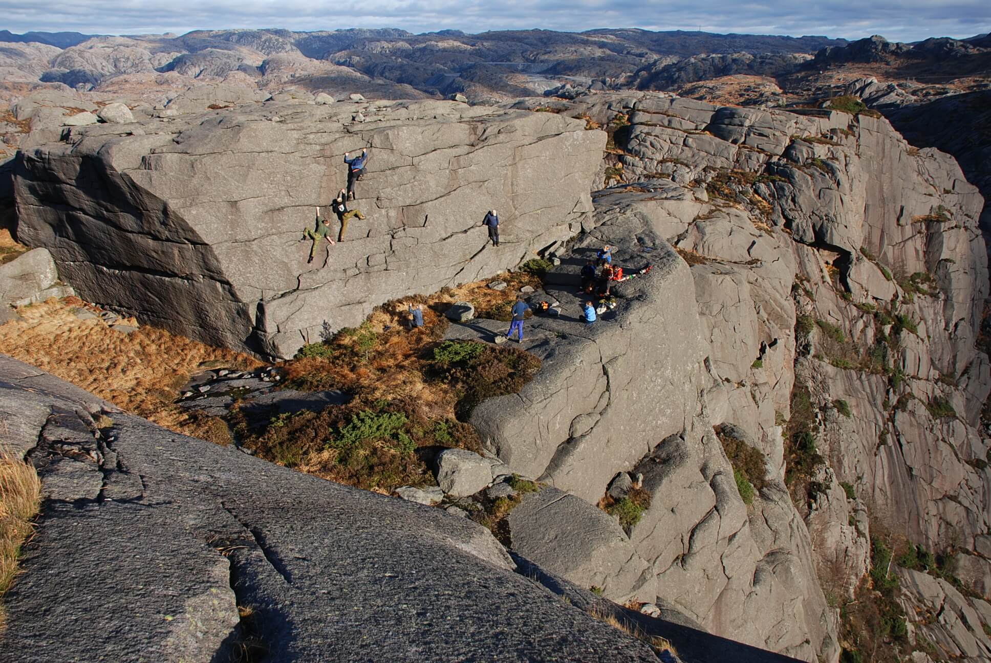
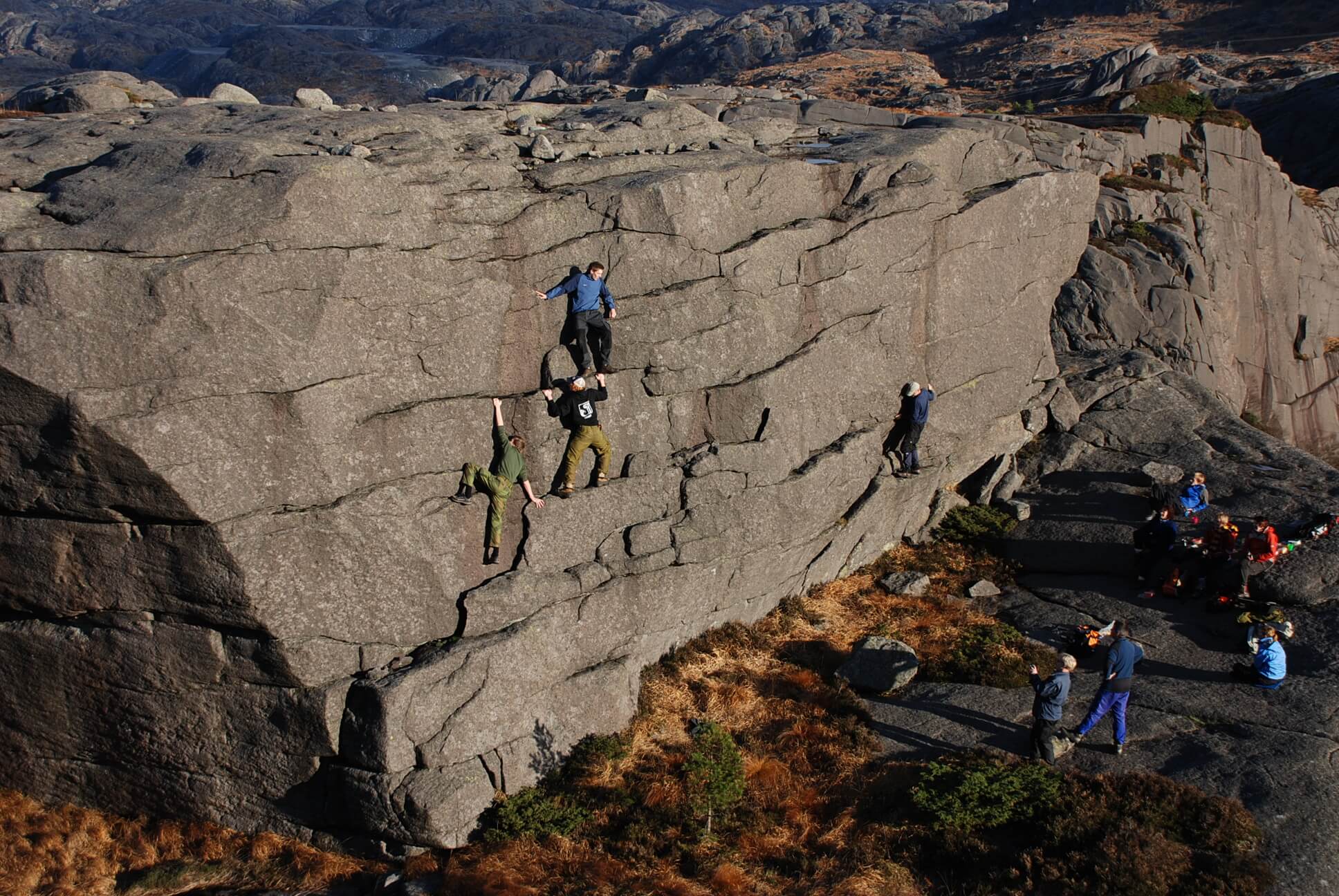
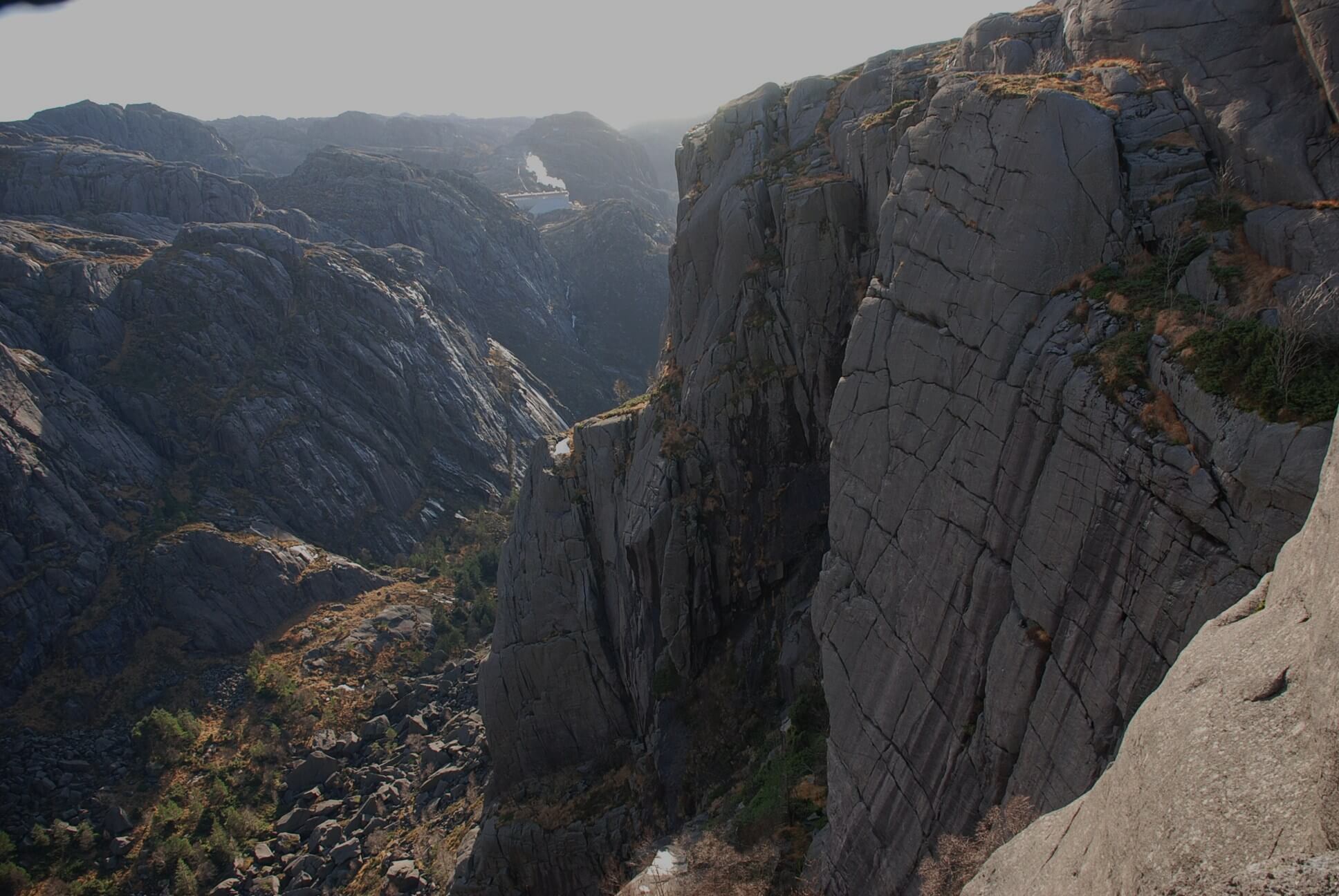
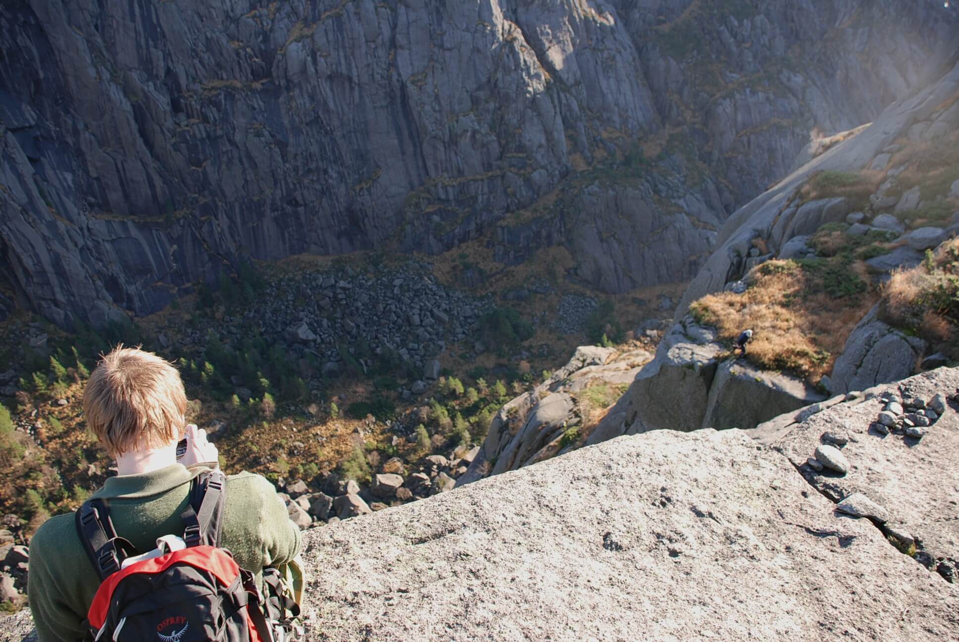
For those who really want to experience the lunar landscape, we can recommend a detour from the marked path around Lake Hagavatn. As you leave the dirt road and enter the trail, you will soon come to a small stream that you cross. Soon after, you go through a fence gate. Instead of following the path straight ahead, here you turn right along the fence. You can now continue all the way to the end of the headland. You have to read and follow the landscape. There is no path here. You walk on hard anorthosite - in a playpen suitable for both young and old. Here you can jump from cliff to cliff, climb and really feel the power of nature at the far end towards the sea. If you're lucky, you'll see a sea eagle taking off. The vegetation is barren, but you can see hardy plants such as sea cloves and rose root "Northern ginseng". The rock can be slippery and the waves unpredictable, so the trip is at your own risk.

Eigerøy lighthouse – Norway's oldest cast iron lighthouse 

In Egersund you will find Eigerøy lighthouse, which is Norway's oldest cast iron lighthouse and was made in 1854. It is almost 33 meters high. You can make the trip on foot and follow the well-marked dirt road. The trip is easy, and goes partly on a dirt road and on a marked path. Prams can be used on the first part of the tour, but unfortunately dogs are not allowed due to grazing animals. The tour goes through a large crystallized magma chamber, also known as the "Egersund-Ogna anorthosite".

Brufjell - experience potholes 

Brufjellhålene, as the place is also called, is a popular selfie spot on social media. The three-hour long walk, which starts at Roligheten, offers a large selection of natural attractions. The path passes a panoramic view of the coast at the top of Brufjell, continues to the exotic Sandviga beach with white pebbles, and finally leads you to a spectacular rock formation from the Ice Age where large potholes lie in the steep rock wall in the sea gap. The trip down to the caves is very steep and involves climbing. It is therefore not suitable for children or dogs. Certain handles in the mountain have been drilled in to make the climb more manageable. 

Kjørsfjell – A landscape conservation area 

The trip from Itland to Kjørsfjellet moves through a very varied landscape with a rich wildlife. You pass both dense deciduous forest, old cultured forest and open, bare mountain peaks on the way. When you approach Kjørsfjell, you will clearly see the distinctive anorthosite. Dilapidated and bare hills drop steeply into the North Sea, and the valleys are fertile and green due to remnants of erosion. You will also see shifting blocks with rocks that do not naturally belong here. These have been transported by the ice age approximately 10,000 years ago. The area has clear traces of old buildings, and is specially protected by the Ministry of the Environment and is classified as a Landscape Conservation Area.

Hellersheia – spectacular view over the Jøssingfjord and the sea 

Hellersheia is a demanding trip along the fjord in Sokndal, which takes approximately two to three hours. The Hellersheia plateau consists of massive anorthosite with clear traces of the Ice Age. The trip up to the plateau is sometimes demanding, but absolutely worth the fine view over the Jøssingfjord and the sea beyond. The area is part of the Åna-Sira anorthosite, and the landscape on the plateau is dominated by the majestic mountains, clear lakes and large boulders that were transported by glaciers when the ice melted. You can also find potholes, which were formed when pebbles swirled around in flowing water at the end of the ice age about 10,000 years ago.

Se flere turforslag i Magma Geopark

Find accommodation in Magma Geopark