Search for keywords or topics in magmageopark.no
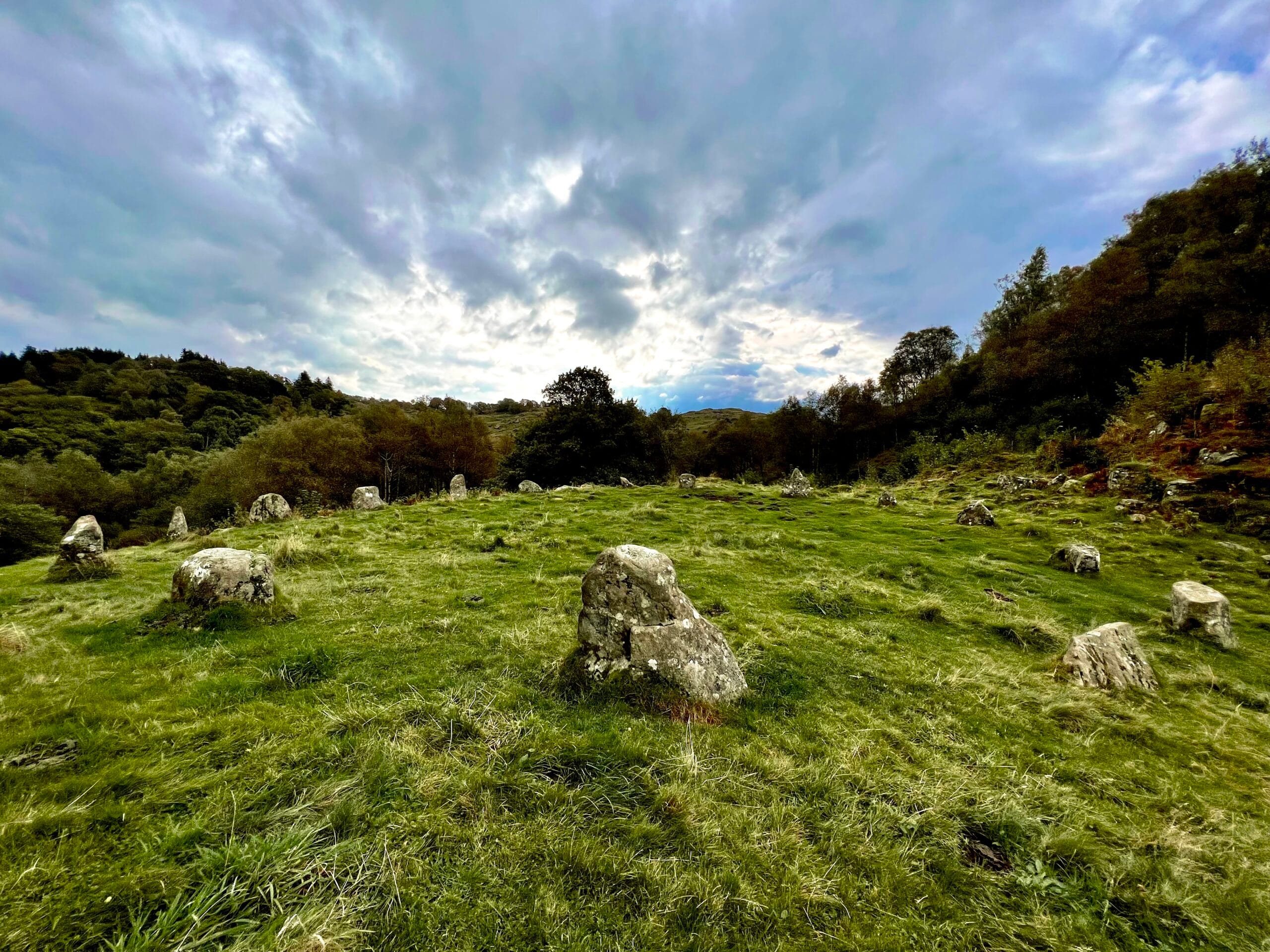
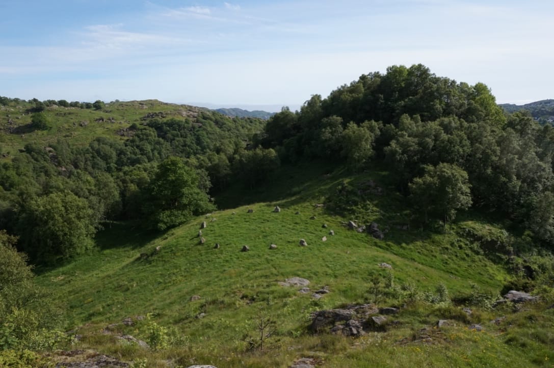
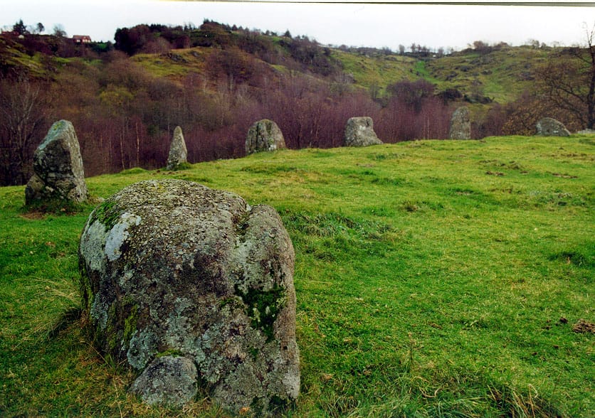
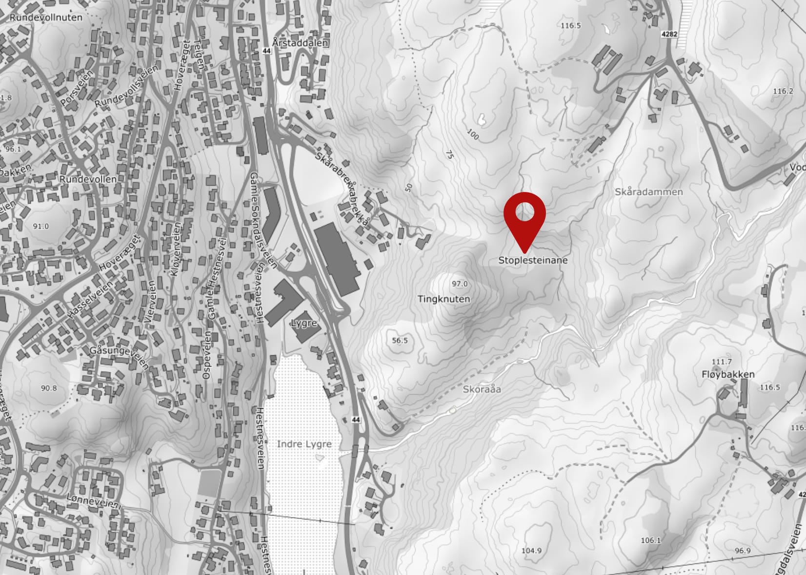
Stoplesteinane consists of 16 erected stones standing in a circle with a diameter of around 21 metres. The highest stones are approximately 1.2 metres above the ground.
16 stones are erected in a circle. Over the years, there have been many theories about the stone circle. A Viking court, a burial monument or perhaps a sundial? Like Stonehenge, Stoplesteinan hides its origins, perhaps explained by the fact that St Olav's Road between Eigersund and Sokndal starts roughly here?
Stoplesteinan is just a 10-15 minute walk up Skårabrekkå from County Road 44 in Egersund. Read more about Stoplesteinan here.
Click on the map. The map opens in a new window/own map app.
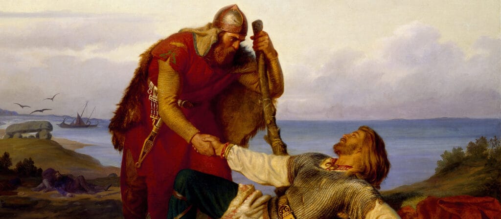
We recognise the Viking Orvar Odd from an Icelandic saga. He was born and grew up at Berglyd in the very south of Rogaland. Join us on a journey through Odd's kingdom. Follow in his footsteps in Egersund and Sokndal.