Search for keywords or topics in magmageopark.no

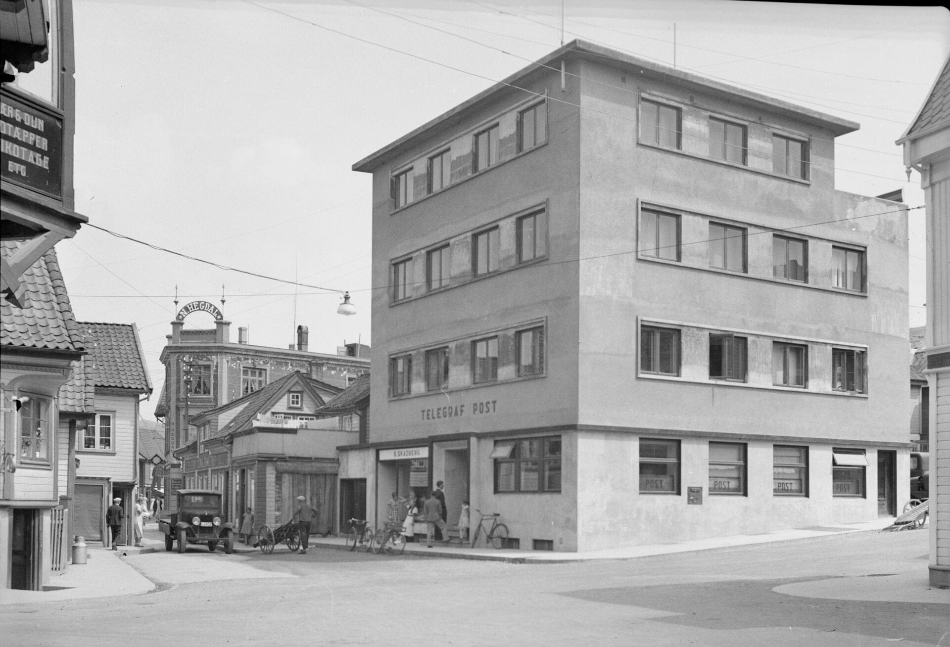
Storgaten got its name because it was the main transport route between the eastern and western parts of the city. At its narrowest, only one carriage could pass through at a time. In 1916, the buildings in Storgaten 29, 31 and 33 were moved further south to make the street wider.
The street originally ran from Skriveralmenningen to Lerviksbakken, but the passage between Skriveralmenningen and Parkveien was later closed. Before 1905, the stretch from Skriveralmenningen to Kirkegaten was called "Myrgaden" because of a marsh located in the area between Aarstadgaten and Johan Feyers gate. The marsh was an open area in the city when the city fire broke out in 1843, and helped prevent the fire from spreading to the north-east.
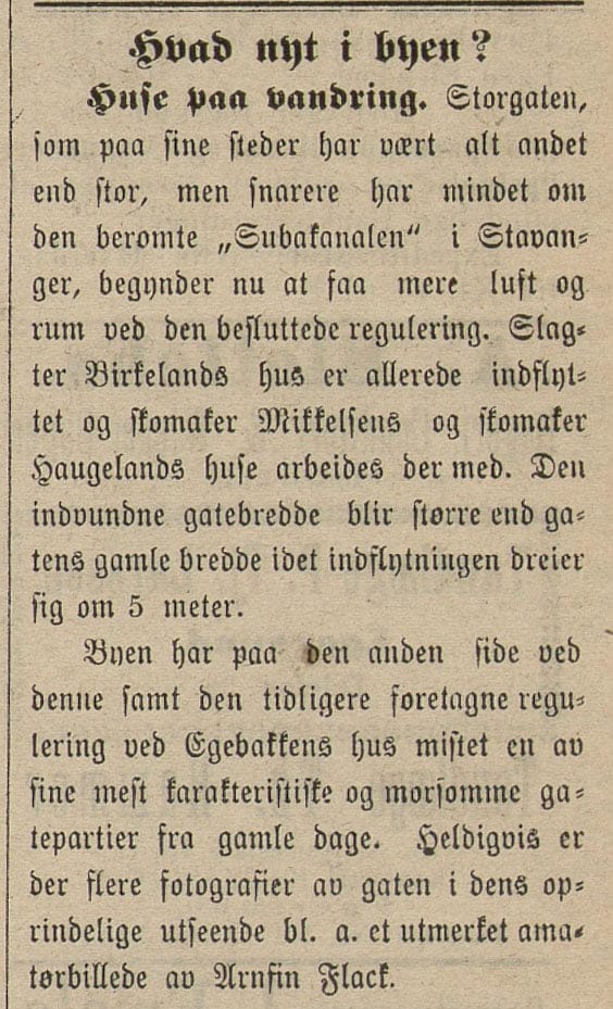
"The main street, which in some places has been anything but large, but rather reminiscent of the famous "Subakanalen" in Stavanger."
Egersundsposten 14 July 1916, "Huse paa vandring".
Storgaten was closed to traffic on 14 July 1972 and reopened the following day as a pedestrian street. In 1983, the street was paved with cement blocks that clearly mark it as a pedestrianised street.