Search for keywords or topics in magmageopark.no
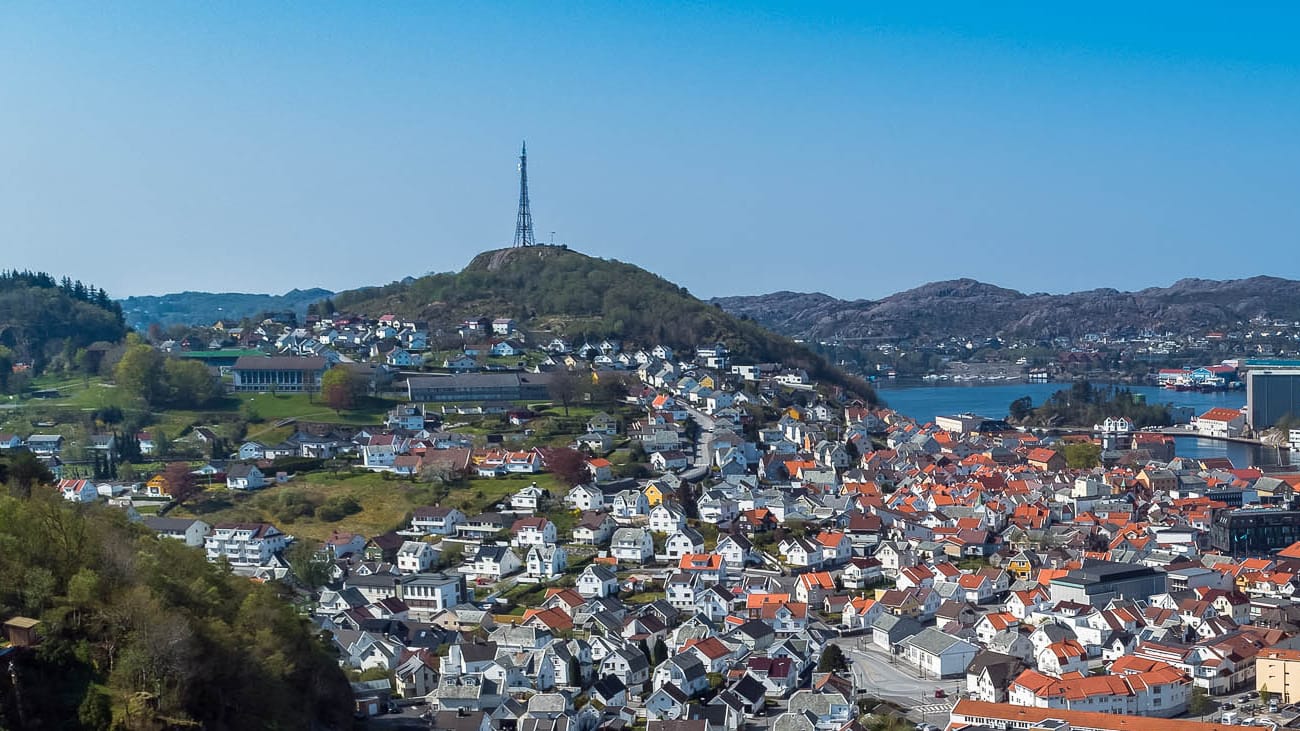


Take a trip to the top of Varberg. This is where the Vikings burned wheat to warn of war and strife. Below Varberg is Husabø, which may have been a royal estate in Viking times. Nearby you will find petroglyphs.
Husabø is a common name for royal farms. At Lista is Huseby and at Hundvåg is Husabø. The distance between these three royal farms was just a day's sail. Kings in the Viking Age rarely stayed in one place for long. They were constantly travelling to maintain their power. I think Husabø royal farm was located where the vicarage is today. Just as the church took over the pagan places of worship, the church also took over the old centres of power.
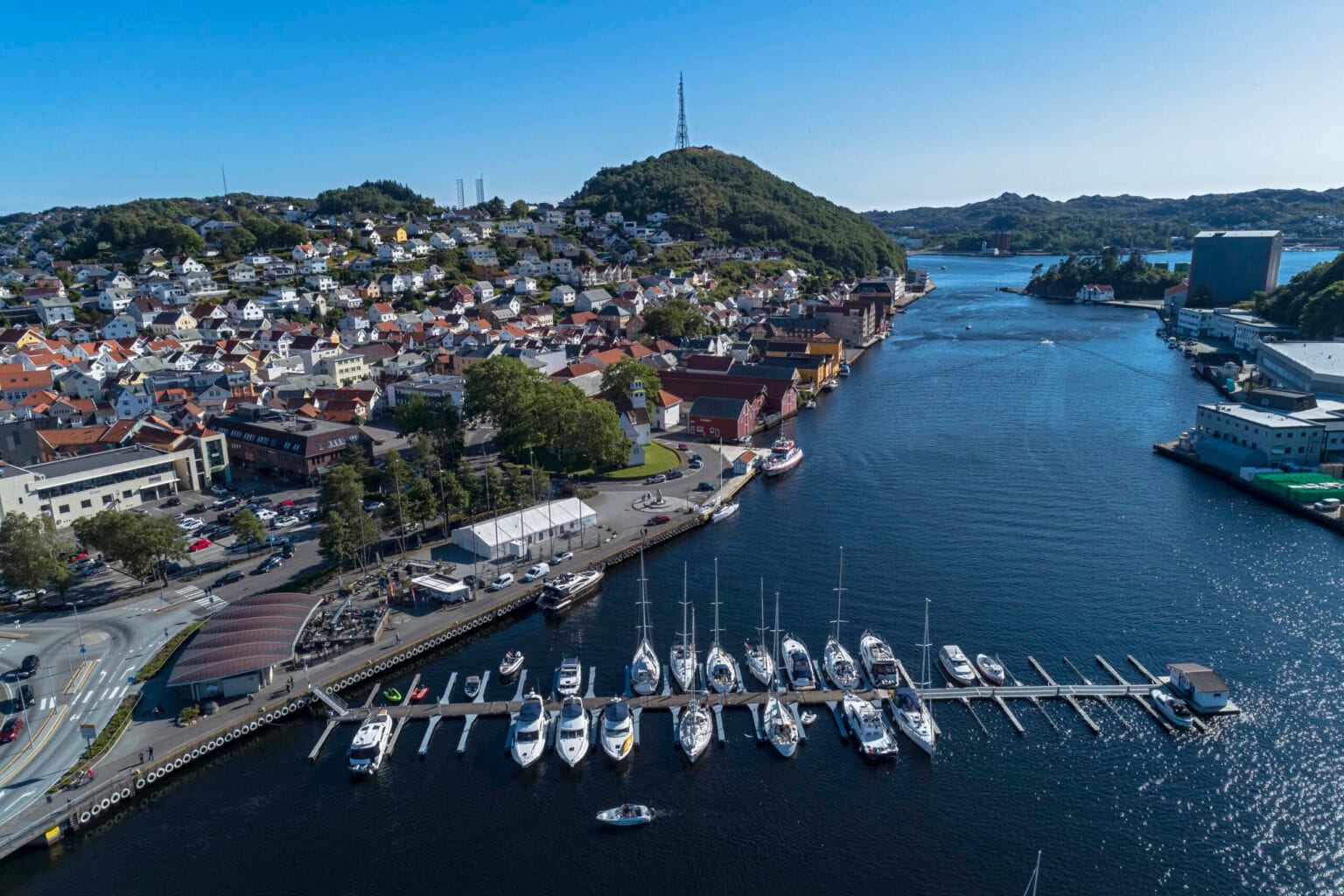
Byfjellet Varberg and Egersund harbour. To the left at the back of the picture is Husabø. Photo: Arne Ove Østebrøt
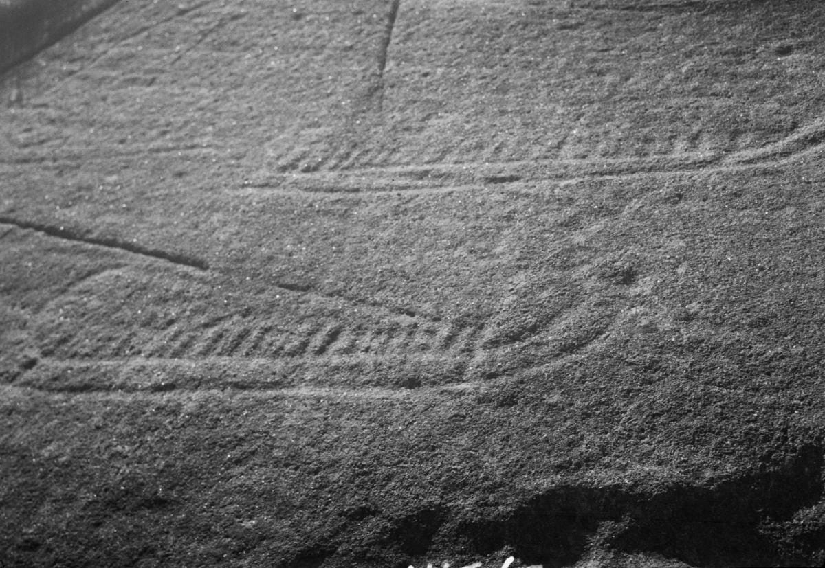
Petroglyphs at Husabø. Photo: Archaeological Museum Stavanger
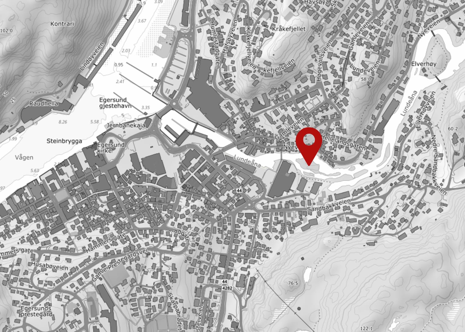
Click on the map. The map opens in a new window/own map app.
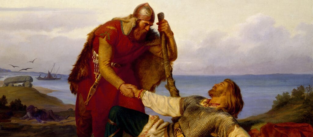
We recognise the Viking Orvar Odd from an Icelandic saga. He was born and grew up at Berglyd in the very south of Rogaland. Join us on a journey through Odd's kingdom. Follow in his footsteps in Egersund and Sokndal.