Veen gardscamping
Veen gard is situated in idyllic surroundings in Bjerkreim. On the garden hits...

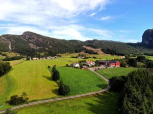
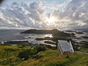
Discover the perfect car park for your Brufjell adventure
Welcome to the area with the most beautiful views for motorhomes, caravans and roof tents! With us, you can enjoy freedom in the middle of nature, with the option of reserving parking for 6 hours, securing space for a motorhome or caravan for 24 hours, or staying overnight in a charming 8 m² bungalow. Book easily on our website or booking.com.
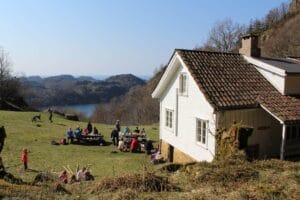
We extend a warm welcome to all adventurers, whether you're travelling by motorhome, caravan or roof tent. As an overnight guest, you get free WiFi, access to fresh water and a cosy picnic area where you can cook and relax. There's also a great outdoor barbecue area, perfect for long summer evenings.
To make your stay extra comfortable, we offer free shower and laundry facilities, including a washing machine. Everything is set up for you to have a relaxing and carefree experience in scenic surroundings.


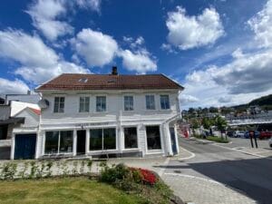
Address:
Midtbø 52, 4420 Åna-sira, Norway
Email: Contact@brufjellhostelparking.com
Phone: +4746916159 / +4748484878
Category:
Flekkefjord, Hotels, Accommodation, Unique overnight stays
See more experiences in Magma Geopark