Search for keywords or topics in magmageopark.no
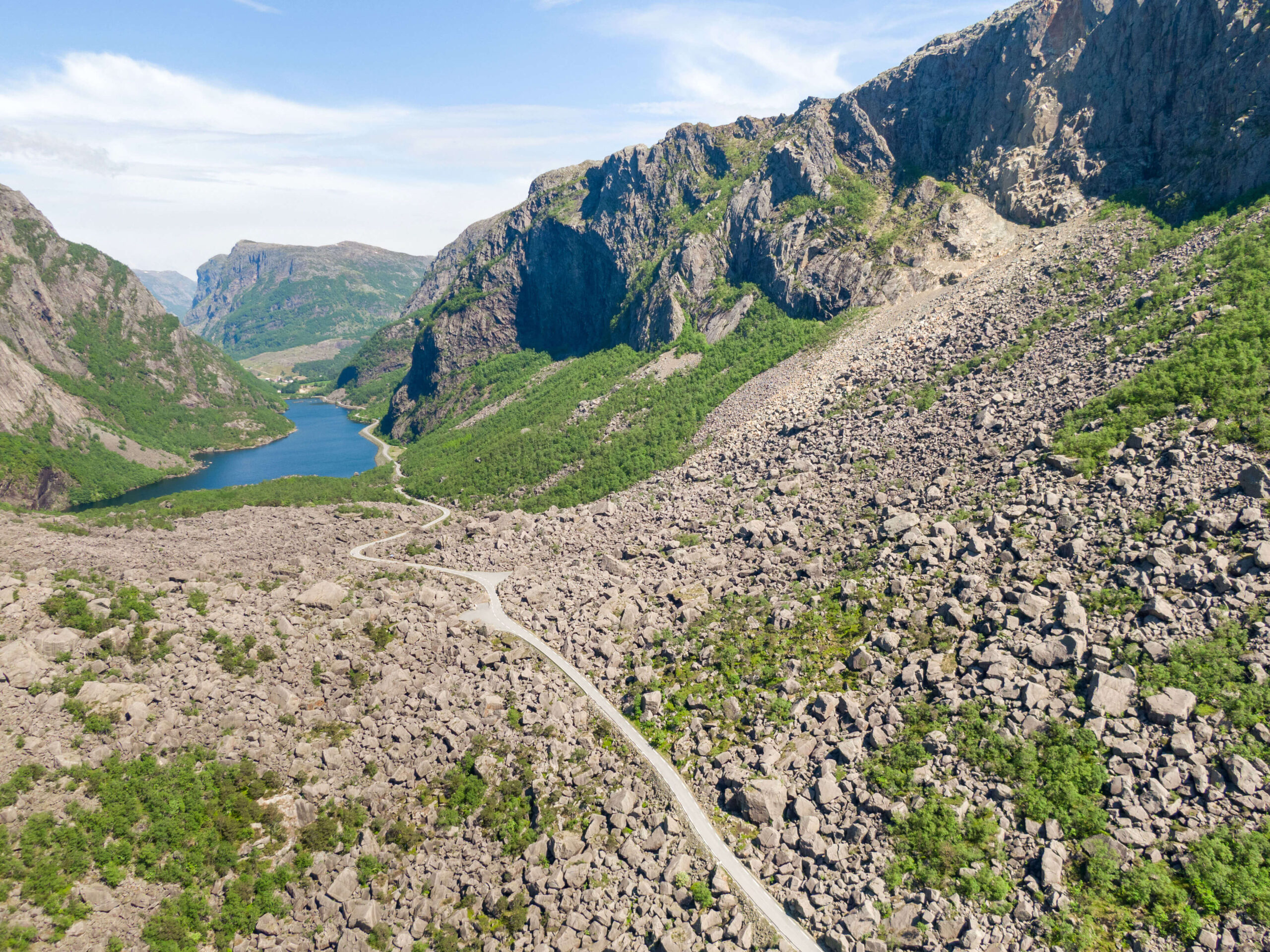
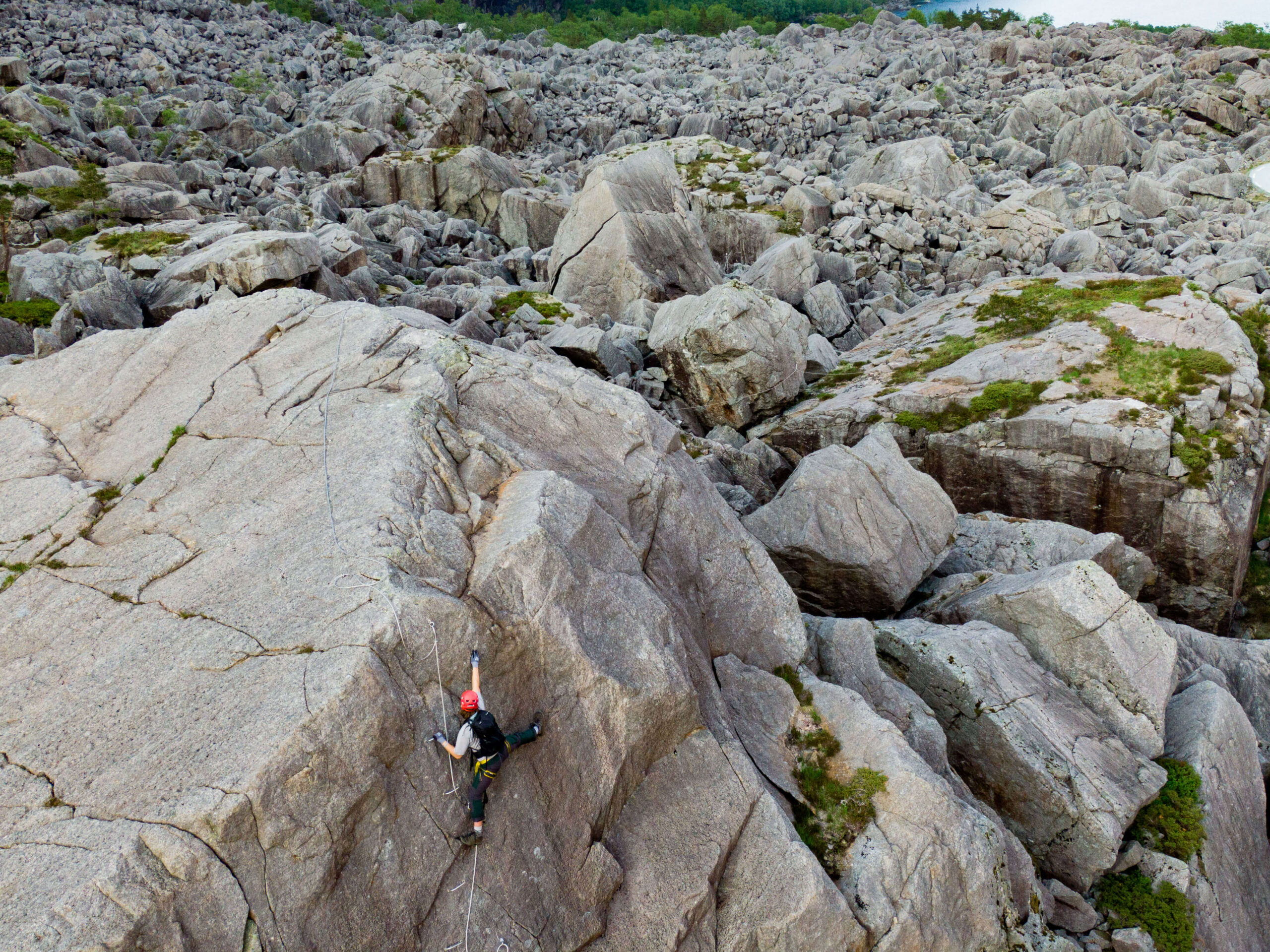
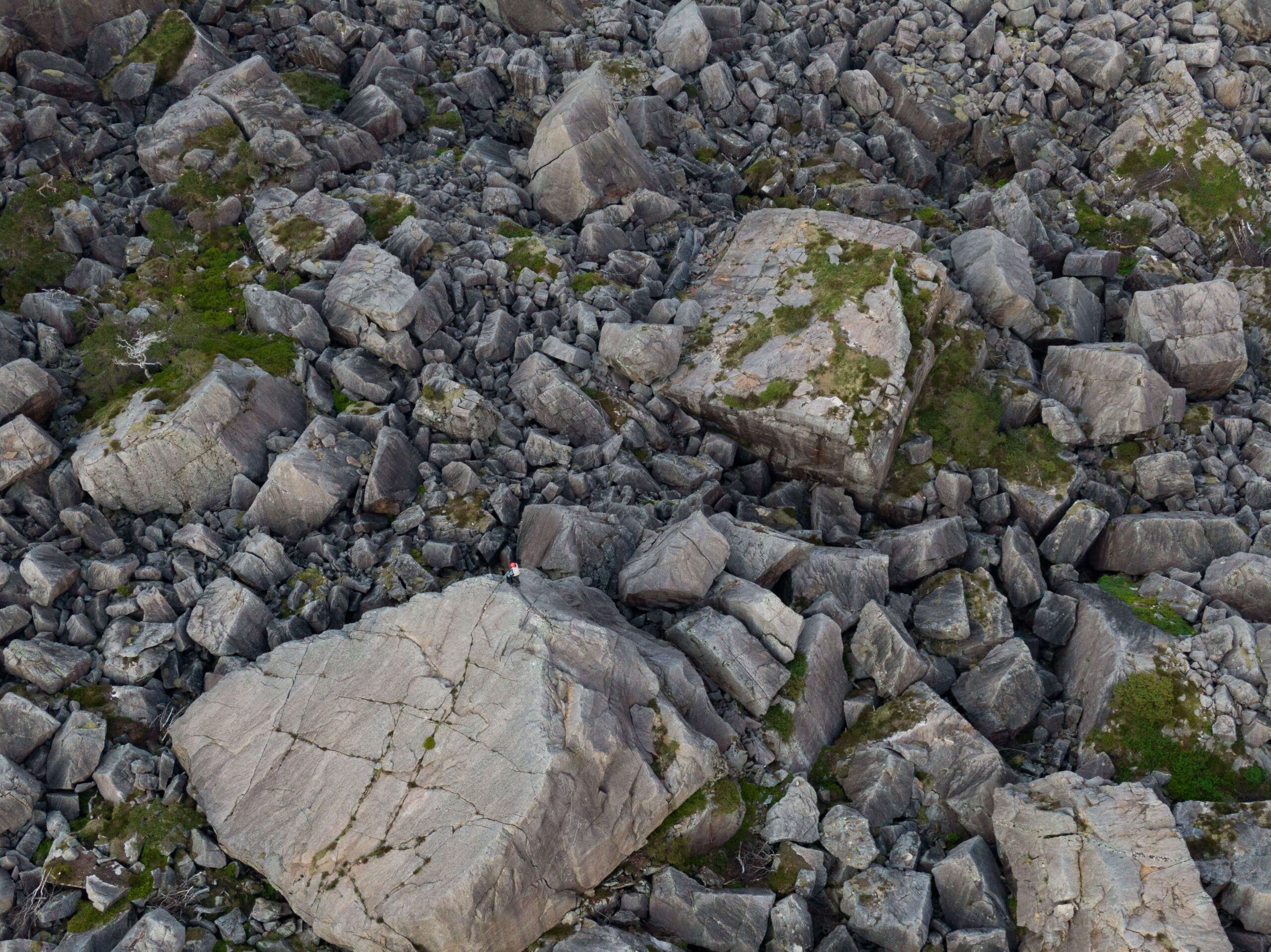
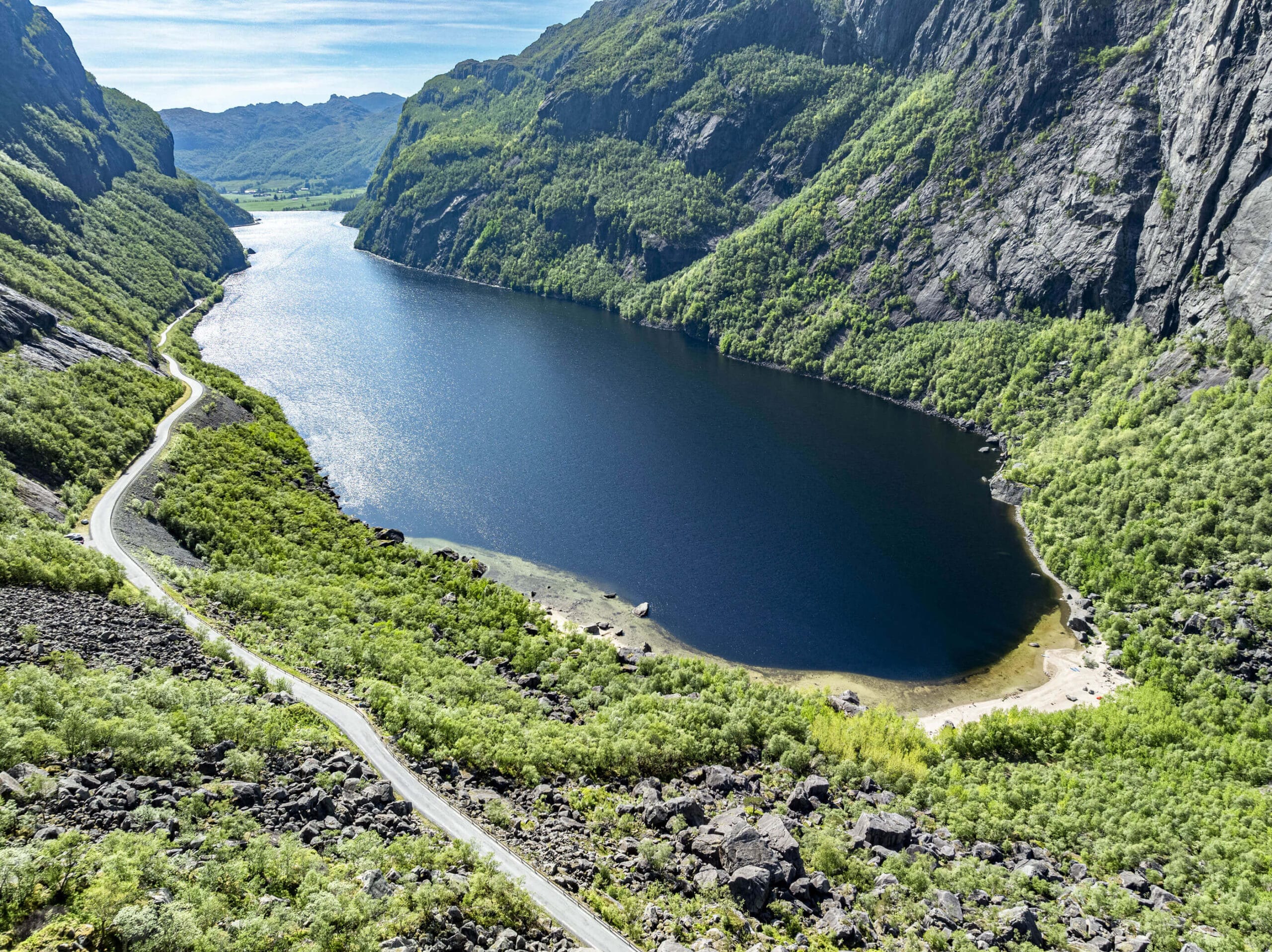
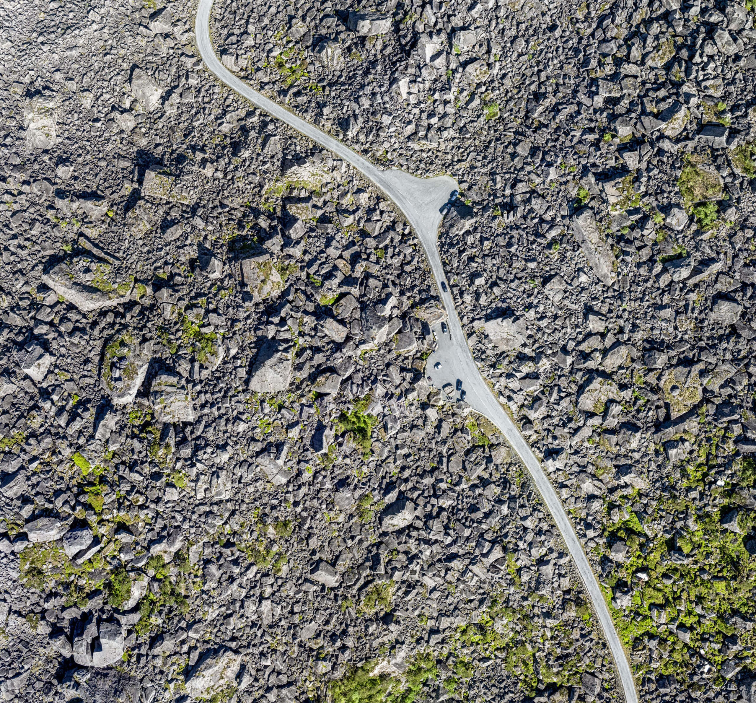
Gloppedalsura is Northern Europe's largest rock pile and is 100 meters thick. It consists of landslide blocks from a large landslide 10,000 years ago, which lie on top of an end moraine.
Geology and nature
Towards the end of the last ice age, a glacier in Gloppedalen began to melt, and the material carried by the ice formed a moraine ridge. This moraine dammed up the river in the valley, preventing water from flowing freely southwards towards Vikeså. A lake formed in Byrkjedal, at 240 meters above sea level, around 10,000 years ago.Sometime after the formation of the moraine ridge, a large landslide occurred from the high cliffs on the southern side of Gloppedalen. Boulder-sized rocks, comparable to houses, detached from the mountainsides and formed large heaps of angular, coarse boulders on top of the moraine.
Culture and history
Major natural events shaped Gloppedalsura, located in a valley with two lakes surrounded by dramatic mountains. The valley witnessed the forces of glaciers and a large landslide that occurred several thousand years ago in Gloppedal.During World War II, the valley saw heavy fighting. The unique landscape of Gloppedalen played a crucial role for Norwegian soldiers defending this area during the war. The scree slope, with its enormous boulders, passages, and hiding spots, served as a defensive position for Norwegian forces battling German soldiers here in April 1940.


Category:
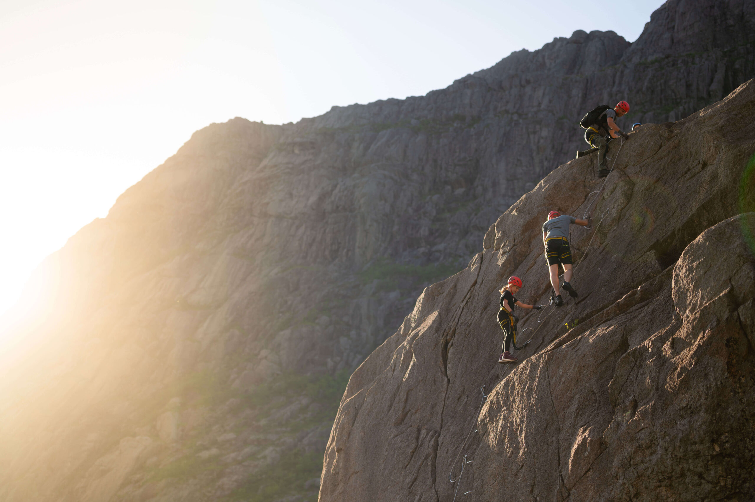
Bjerkreim, Geopark, Magma Geopark Sites, Top 20
See more experiences nearby
