Eigersund Frisbee Golf Club
Egersund frisbee golf consists of 3 tracks in and around Egersund

Geologically exciting tour where you get to experience different cultural landscapes on a moderately demanding round trip.
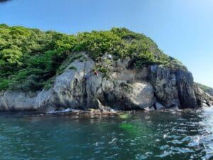
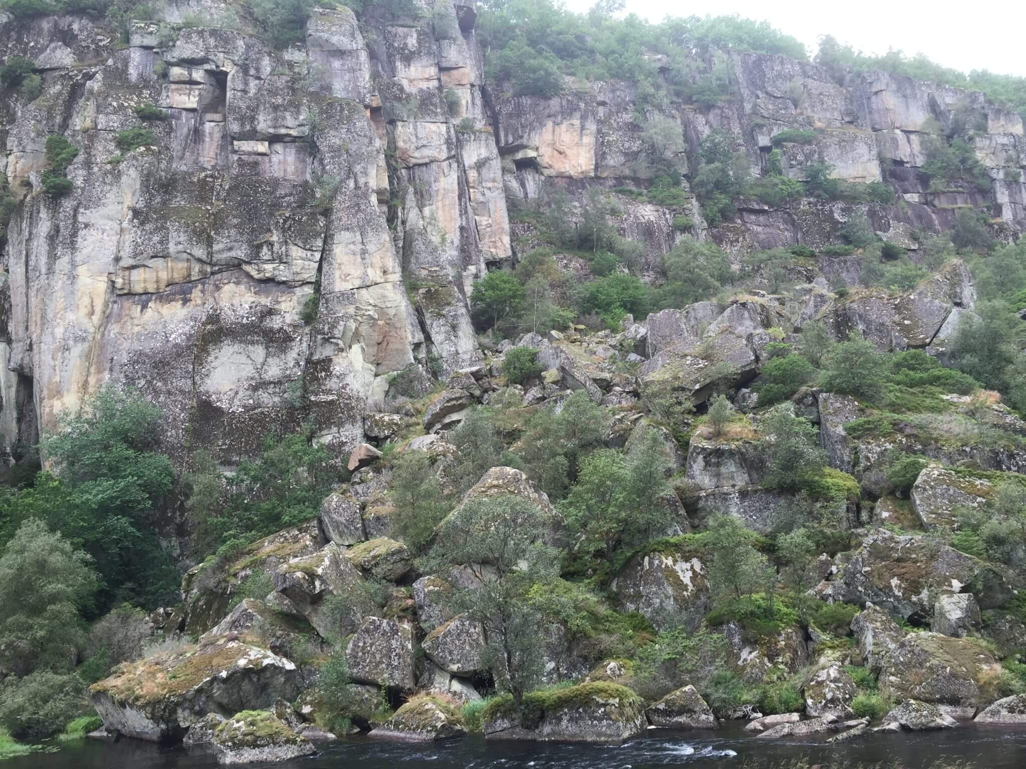
This tour gives you the opportunity to experience varied and interesting geology. The tour starts at the car park at Løtoft. Here you walk on norite (which got its name from Norway). You're almost exactly on the border between anorthosite in the south and Europe's largest layered intrusion in the north/north-west. You can clearly see elements of iron in the bedrock, and there are several beautiful small veins of ilmenite ahead of you on the trail. Similar, but larger, veins of ilmenite were extracted from the Florklev mine.
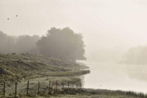
If you look back towards Løtoft when you go up the slopes towards Elgjestraum, you can see clear variations in the flora. The cultural landscape at Løtoft stands out clearly from the bare mountain landscape on the other side of Steinsvatnet. This rugged landscape is the result of the rock type mangerite found in the layered intrusion. South of Løtoft, on the eastern side of Steinsvatnet, you can see that the cultivated land comes to an abrupt end. Here the moonstone anorthosite starts.
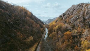
At Elgjestraum, on the road south towards Hølen, you'll be walking on many rides. From Hølen and through Toska-Rossdal you follow a path on basalt with anorthosite on both sides. This basalt passage is the same passage that has shaped St. Olavsveien, which runs until it meets fertile bedrock (norite and basalt) and less fertile bedrock (anorthosite and mangerite). In several places, you can also see large amounts of gravel and sand that have been left in the landscape after the ice retreated approximately 10,000 years ago.
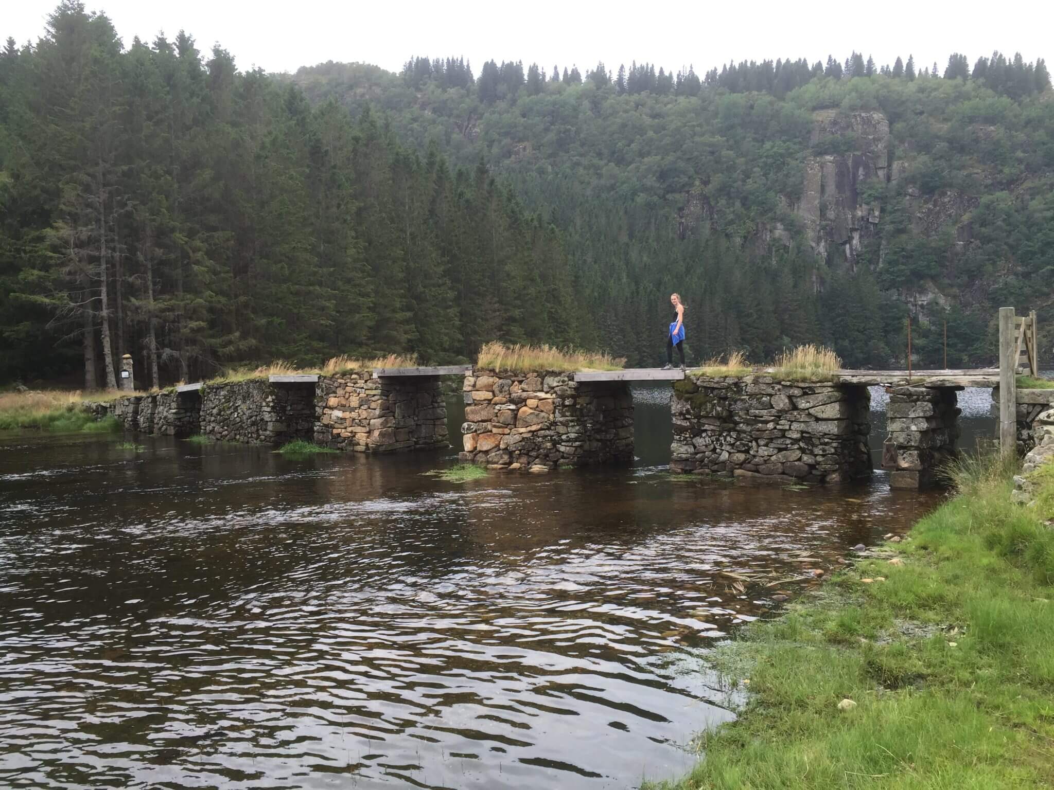
Parts of the path follow the old road from Elgjestraum, via Vassenden and down to Bakka bridge (approximately 6 km). This is probably one of the oldest roads in Dalane. In 1838, public funds from Stavanger County stretched between Fidja and Vassenden, as one of the first roads in outlying areas. This road was the connection between the coast, the western Norwegian main road and the Eide post office in Heskestad.
Along the road (by Hølen), you can find remains of an old farm and an old reed-powered mill from between 1850 and 1900. The mill was powered by water power, and was used to felt woolen clothes.
From Egersund you follow RV44 to Hauge in Dalane. Follow the signs for Sandbekk and Mydland straight after the bridge and turn left. Follow FV1 for a few km, and take the exit for Løtoft. Follow the road to the end, and park in the designated area by the information signs.
Accessibility: Moderately hard hike. Marked paths.
Duration: 3 hours round trip; 9.2 km long, and the highest point is 482 meters above sea level.
Show consideration:
Parks in the parking lot, and show respect for the private land.
Pay attention to the animals along the route.
Remember to close gates behind you.
Dogs must be on a leash.
Leave only footprints!

Category:
Active, Geopark, Magma Geopark Sites, Sokndal, Suggestions
See more experiences in Magma Geopark