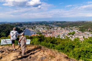
Varberg
Join us for an experience that combines nature, views and history!

Settlements from the Iron Age in Bjerkreim. Medium trip, 3 hours
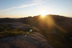
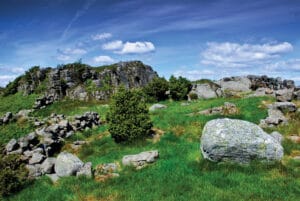
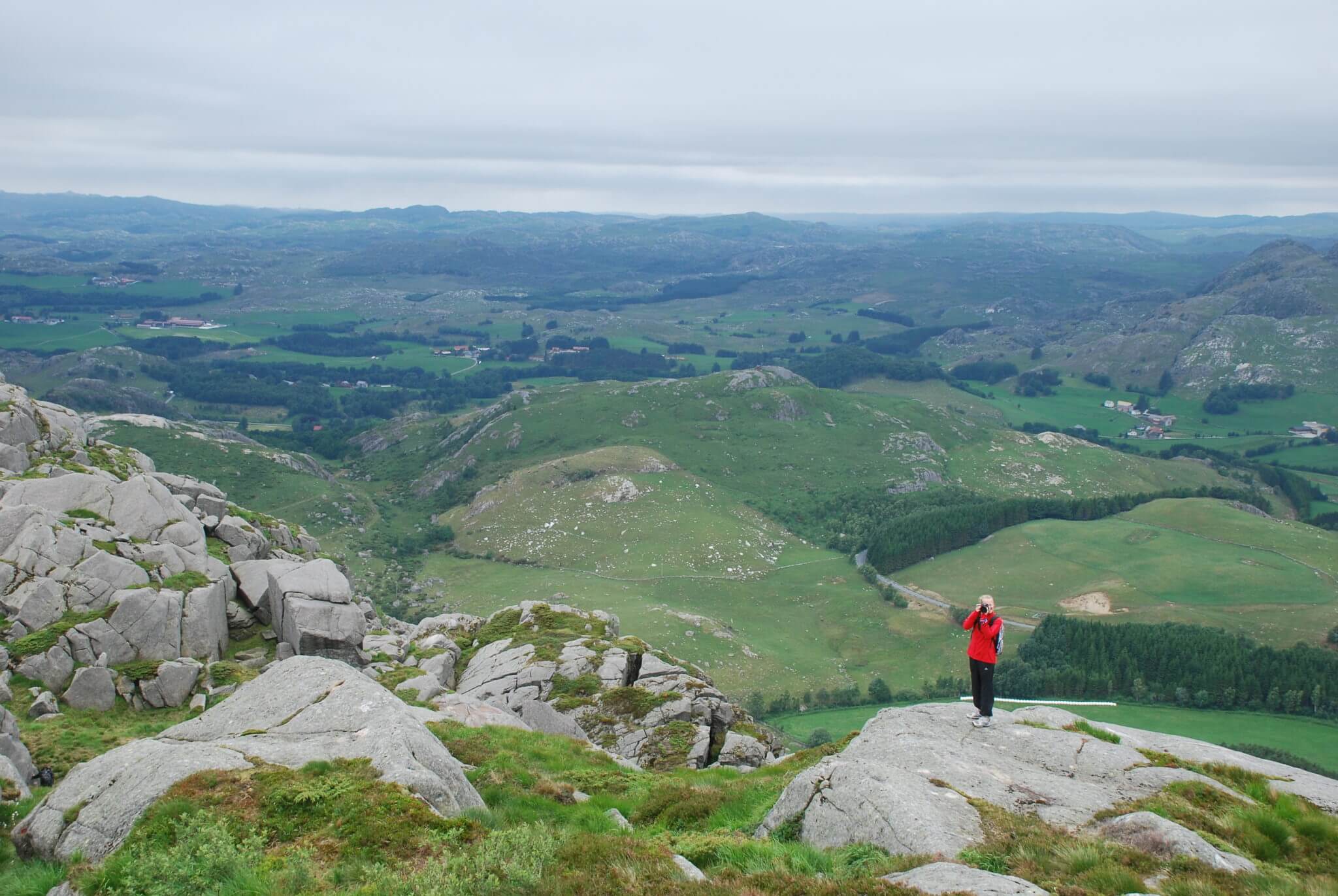
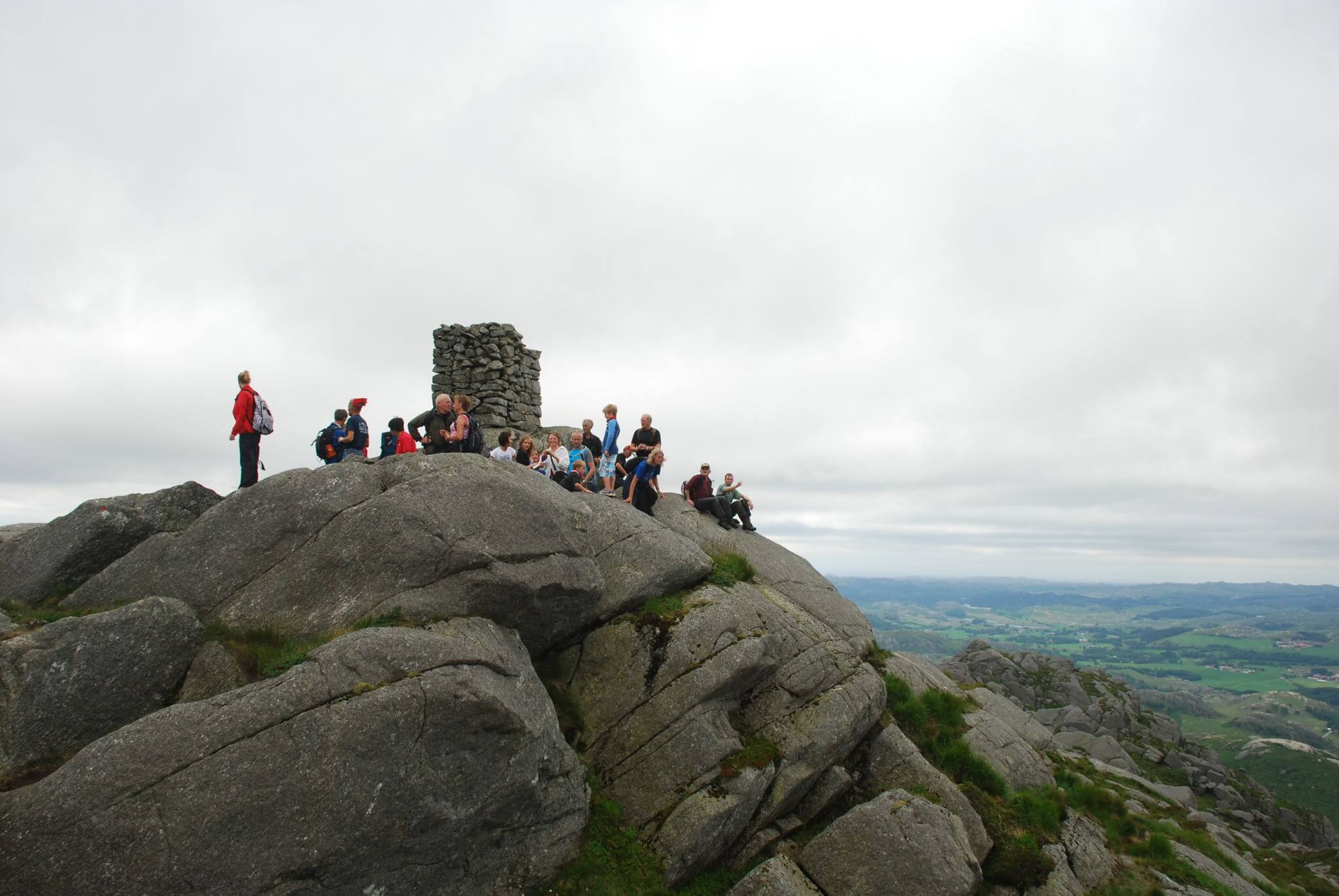
Solbjørgnipa is near the bottom of the layered Bjerkreim-Sokndal intrusion. The gneisses of which these mountains are composed are very resistant and form a high landscape, including the mountain peak Solbjørgnipa. These gneisses are more than a billion years old and were formed at the base of an ancient mountain range that has eroded away long ago.
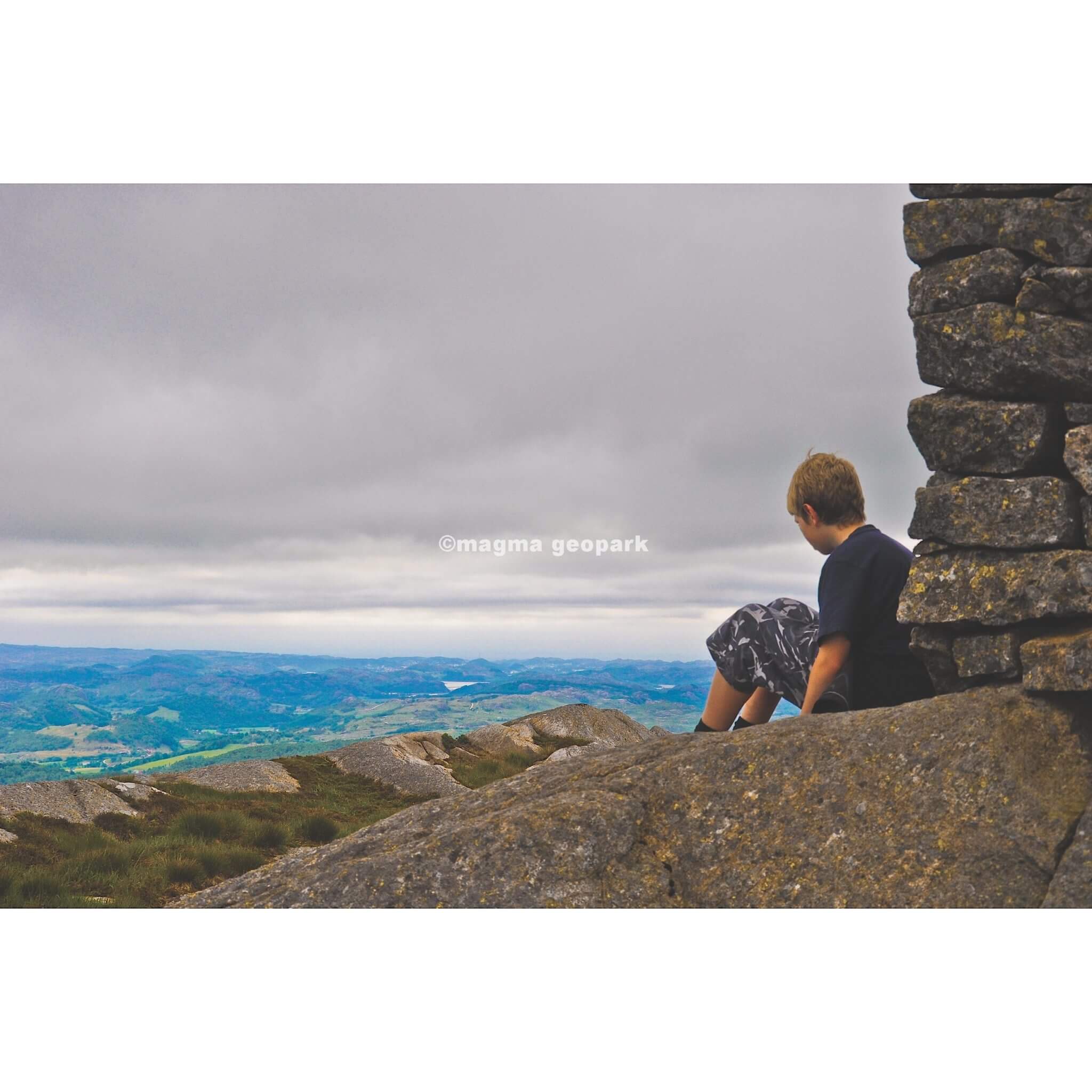
At Solbjørgnipa you will find the remains of farm buildings, burial grounds and traps. These remains are considered some of the most valuable finds from the Iron Age in Rogaland, and are dated to AD 200-550. Here you can find information about typical family life and the cultural habits for both life and death. The farm buildings at Bue can be considered a typical example of an Iron Age farm, although the size of the site is impressive. In addition to several large round mounds, the rectangular mound represents an unusual burial site. The somewhat disturbed short end of the rectangular garden reveals how it was built using an even row of stones placed on their sides. The long hill is constructed as a ridge extending from the plateau with access from the north and must have required a lot of work.
The remains of a house are visible as low, slightly uneven stone rows directly behind the rectangular elevation. The houses were used by both people and animals, and the remains of stone walls down the field indicate that animals were led through adjacent fields to a grazing area further south.
On the slope up from Kløgetvedt, there are two traps that are ideally located in relation to the terrain. They are located on a steep slope just above the summit, by a wide grassy hill. The larger trap is well preserved with stones visible along the edge, while the smaller one has collapsed. Archaeological excavations in Setesdal show that five out of six dated animal traps were built in the Iron Age and early Middle Ages. Trapped animals are considered to have been a supplementary food source for agricultural-based communities.
Follow the sign to Kløgetvedtunet from the E39. Parking 300 meters east of Kløgetvedtunet.
Accessibility: Moderately challenging hike. Marked trails.
Duration: 3 hours
Show consideration:
Parks in the parking lot, and show respect for the private land.
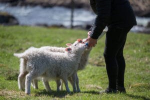
Pay attention to the animals along the route.
Remember to close gates behind you.
Dogs must be on a leash.
Leave only footprints!

Category:
Active, Bjerkreim, Geopark, Magma Geopark Sites, Suggestions
See more experiences in Magma Geopark