Star mile
Here you can take part in a wild race through hard downhills...

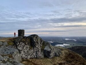
Molybdenum was extracted at Gursli at the beginning of the last century, and it is possible to turn back time and see what life was like in the mines a hundred years ago. You can combine a visit to the historic mining area with a trip to the top of Gjegningheia, which reaches 553 meters above sea level.
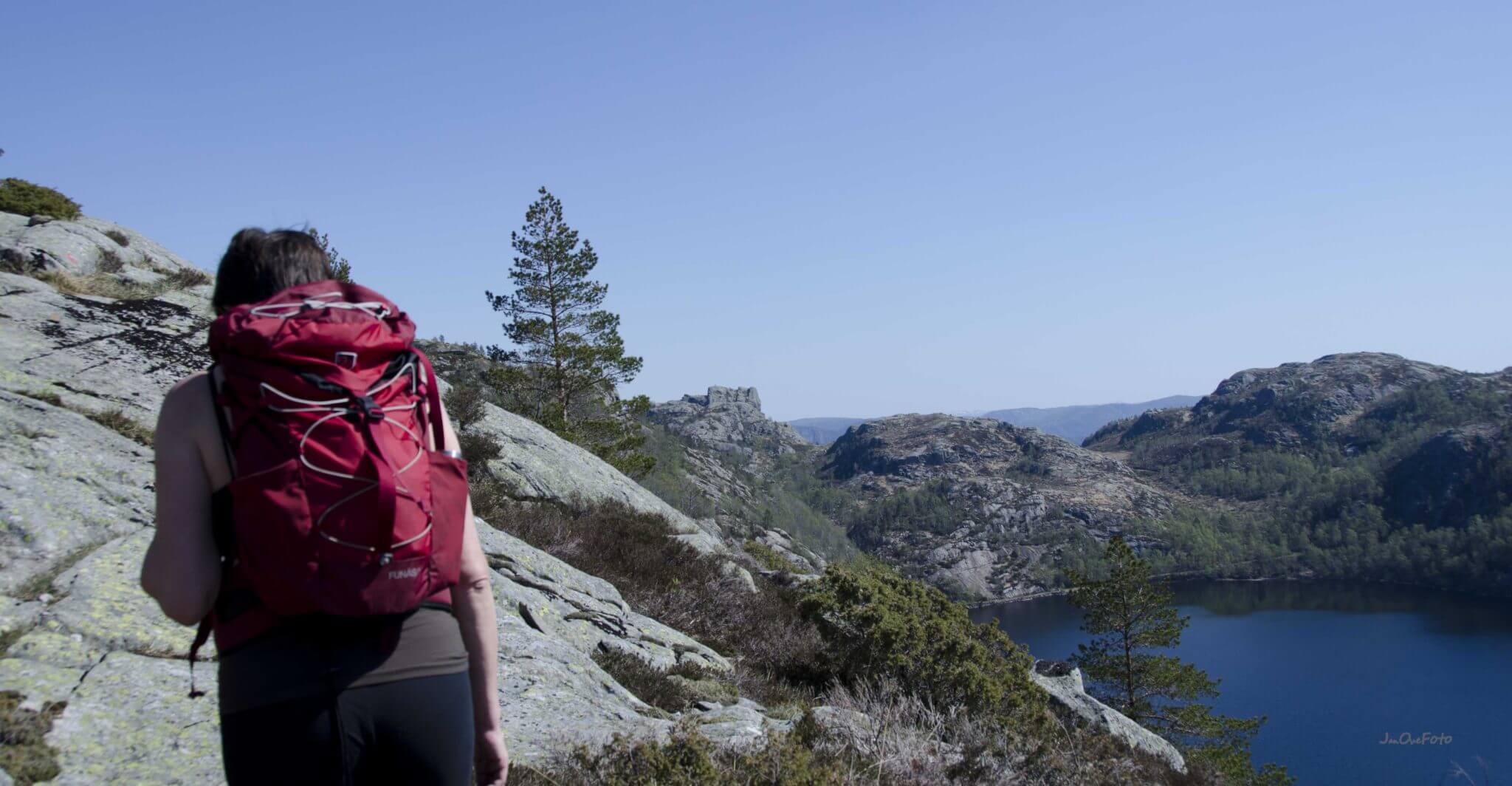
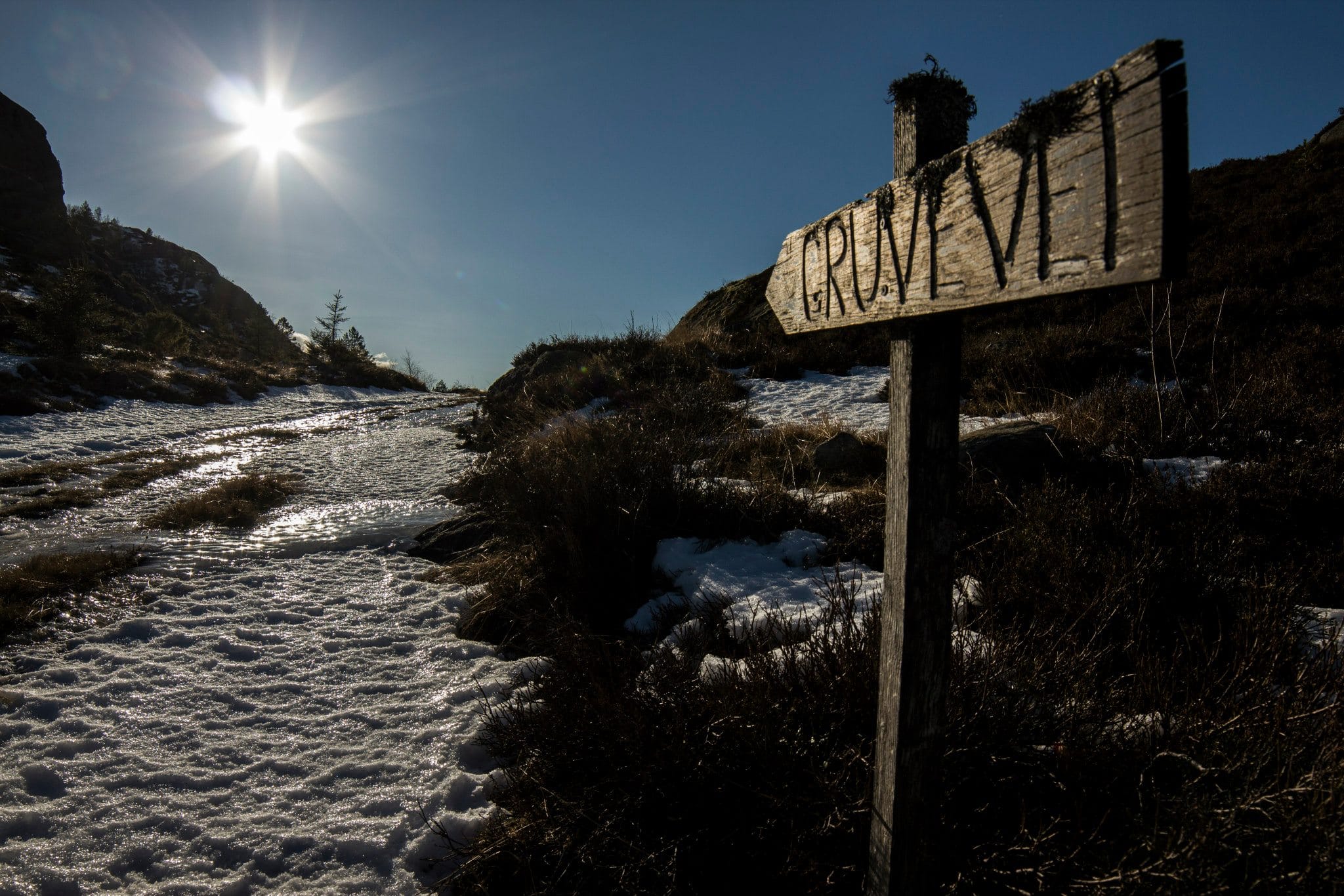
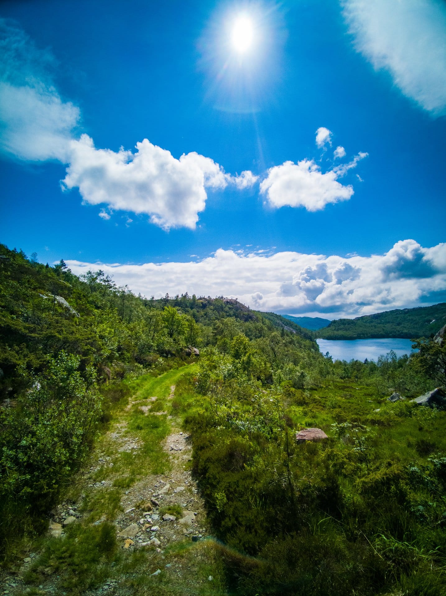
From Lundevannet you can go ashore in Skålandsvika. It is a 20-minute walk along the county road up to Gursli. From here you walk 60 minutes along the old old mine road to Gullvann and the mines. The walk is well marked, and there is a car park at Gursli.
At most, 120 men and a few women worked in the mines. At Gullvannet you can still find many remains of this industry. 13 information signs have been set up along the path.
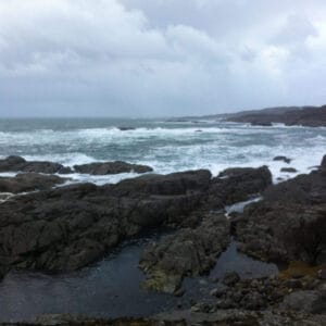
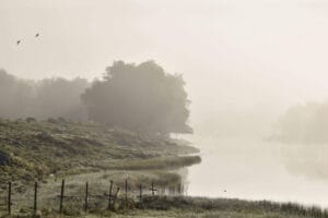
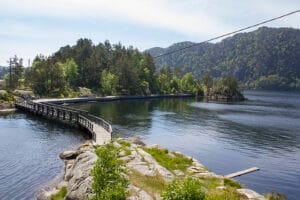
Although the first half of the trip is very steep, the terrain is good. The mining road is in good condition for walking. The first half hour is downhill, and you get a good view as time goes by. A short distance up the hill, a great view out over Lundevann reveals itself. It is this water that starts in the center of Moi and goes to Åna Sira. Lundevann is one of the deepest waters in Norway. Down by Gullvann it's just idyllic, you'll have to look for a long time to find the perfect place. Fishing in Gullvann is an option, but requires a fishing license.
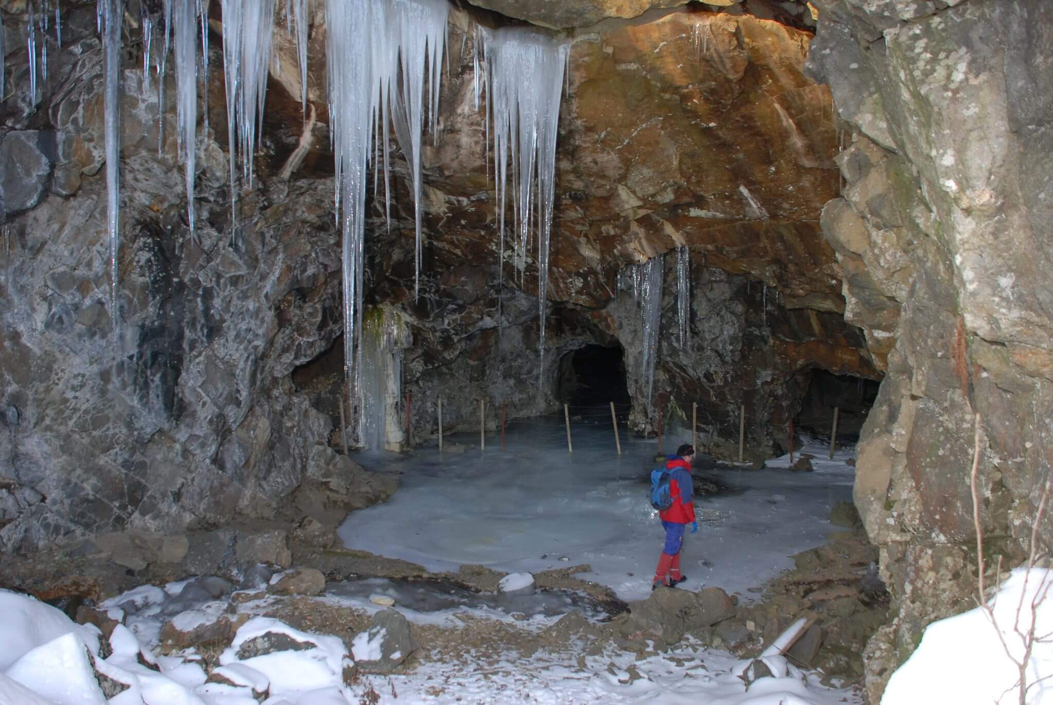
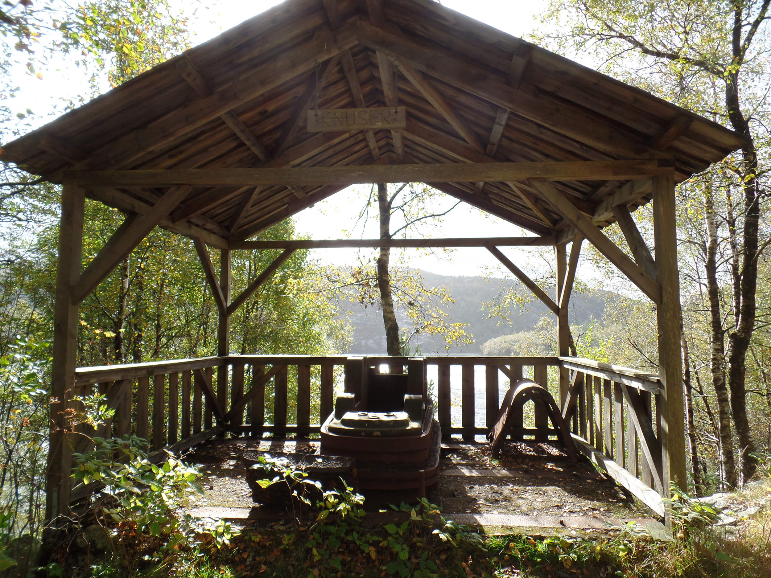
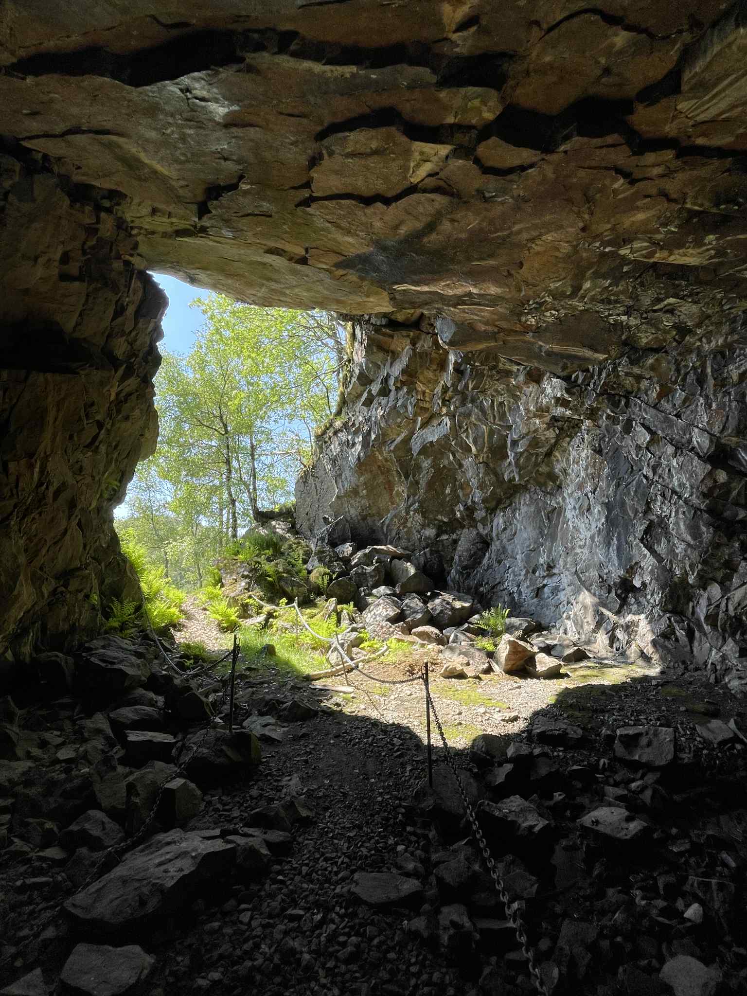
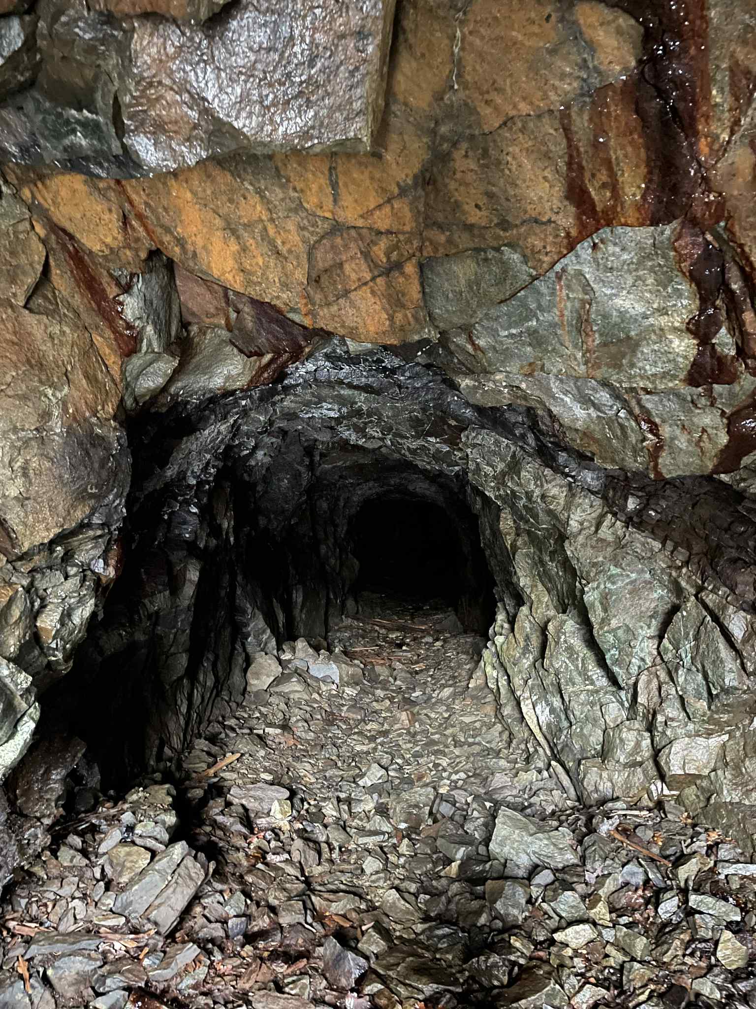
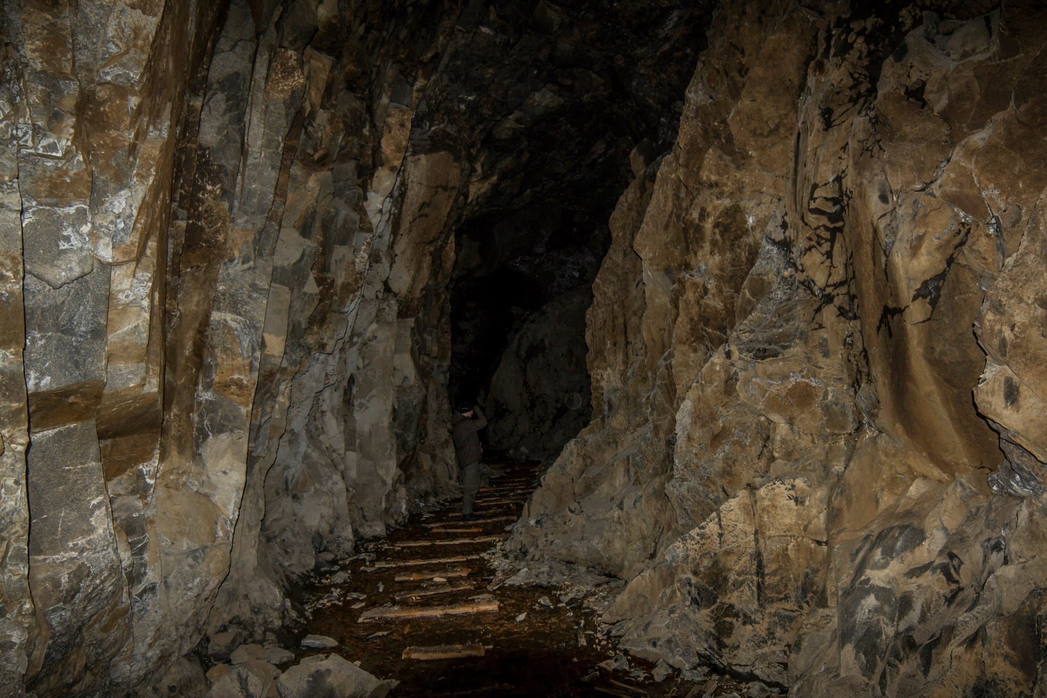
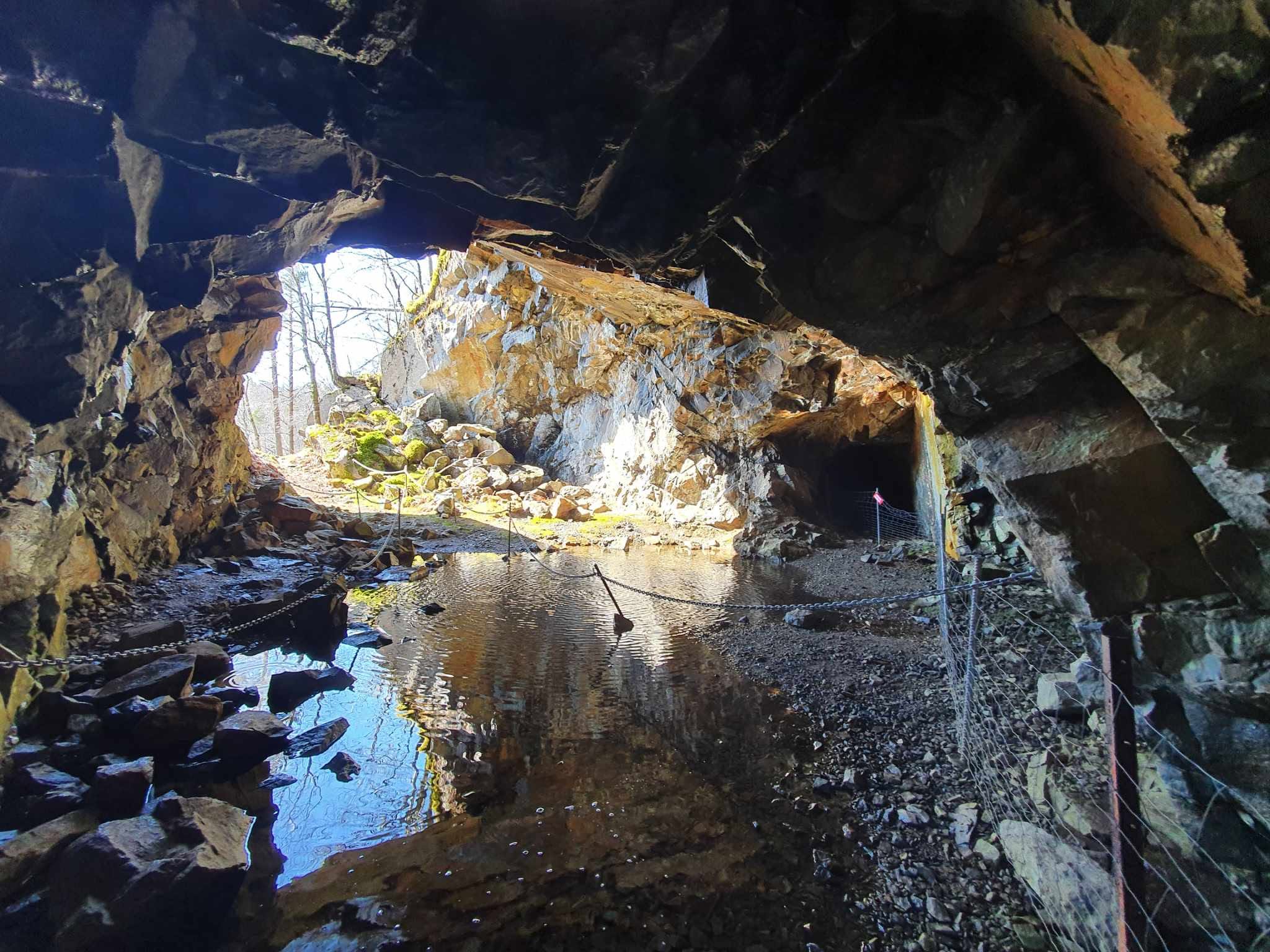
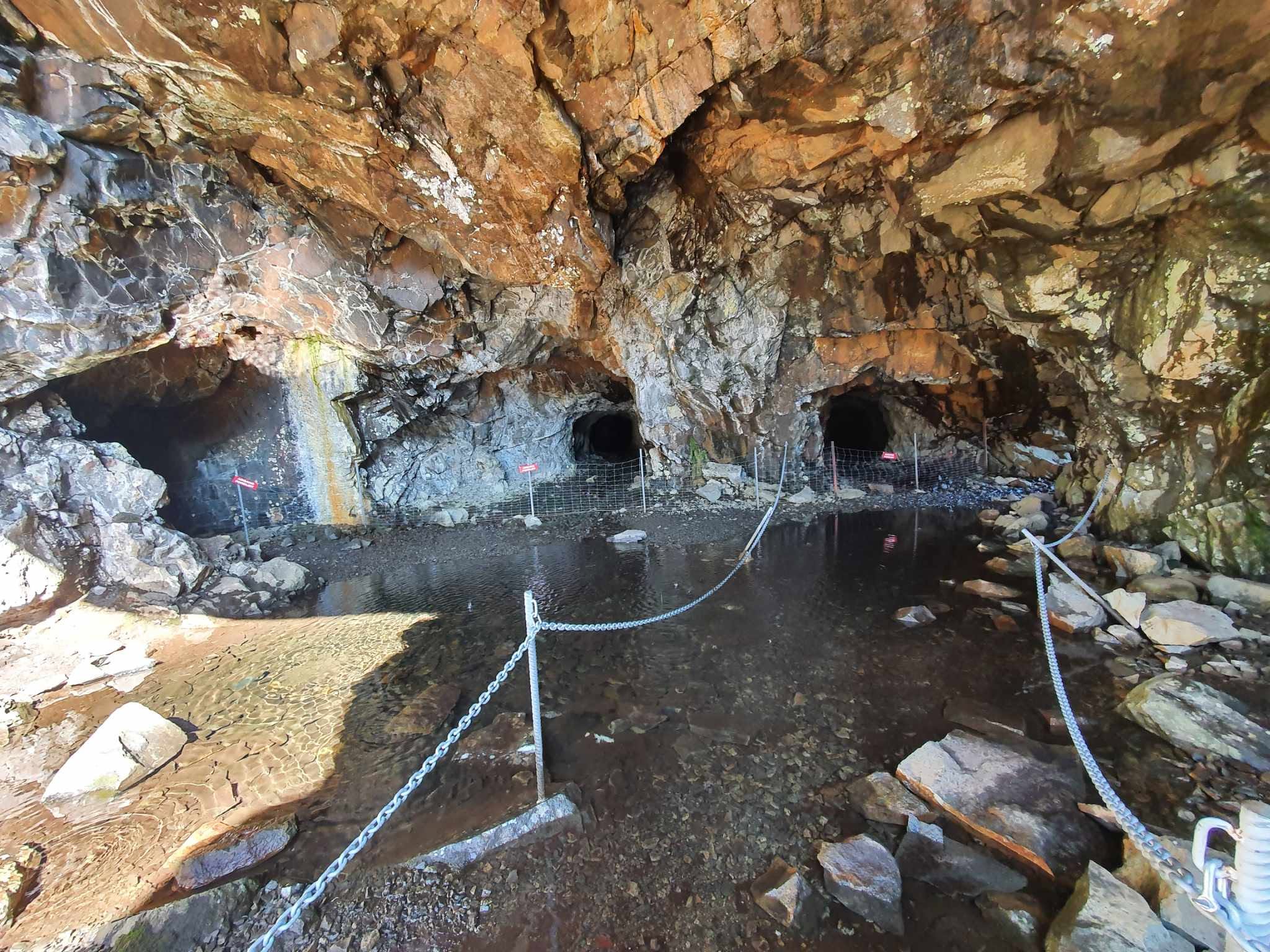
At Gursli, you first come to the "Jentehytta" where the cooks stayed. This house has been recently restored and painted red. The girls' cabin is open, and you have the opportunity to go in and enjoy yourself. Around a couple of more bends you come to the place where the ore was crushed. One of the crushers is still there, rusty and useless of course, but as a memory of a bygone era. Here you will find a picnic area with a table. The mines themselves are a short distance past this place. If you want to experience the entrance to the mines, you must continue for a few more minutes on the footpath along the water. First you come to a solitary mine entrance. If you continue a little further, you will enter a small mountain hall with an entrance to three mines. If you want to go inside the mines and hear more, feel free to book a guided tour with Magma Geopark.
Molybdenum mining at Gursli took place from 1915 to 1919. Molybdenum is a metallic element, and its main use is to strengthen and harden steel. The Gursli mines were active in supplying molybdenum for steel production during the First World War. In 1917, there were around 100 employees at Gursli. In the most active period, up to 160 men worked to process the ore.
The mines were in operation until 1919, and in these years was Gursli Molybdæn A/S is the largest company in Lund municipality. After the war, the crash, the price of molybdenum and the mine closed.
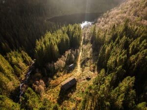
You can still find remnants of the many buildings constructed at Gullvannet during the active period. Today, it presents itself as an outdoor museum showcasing mining culture. The buildings include a house for the mine manager and his staff, three barracks accommodating 60 men, a toilet, two forges, an ore processing plant with crushers, mills, and a flotation unit, several outbuildings, a tool shed, and a storage facility for explosives. During mining operations, there were several boats and a ferry responsible for transporting ore, equipment, and people across Gullvannet. The 3.5 km road from Gursli farm up the hill to the mine was built for the use of the mining company.
The mining road to Gursli mines must have been challenging to transport ore on during World War I. When considering the limited technical aids they had back then, the word "challenging" seems appropriate to use. Today, this road is a great path to follow to Gullvann and the mines there.
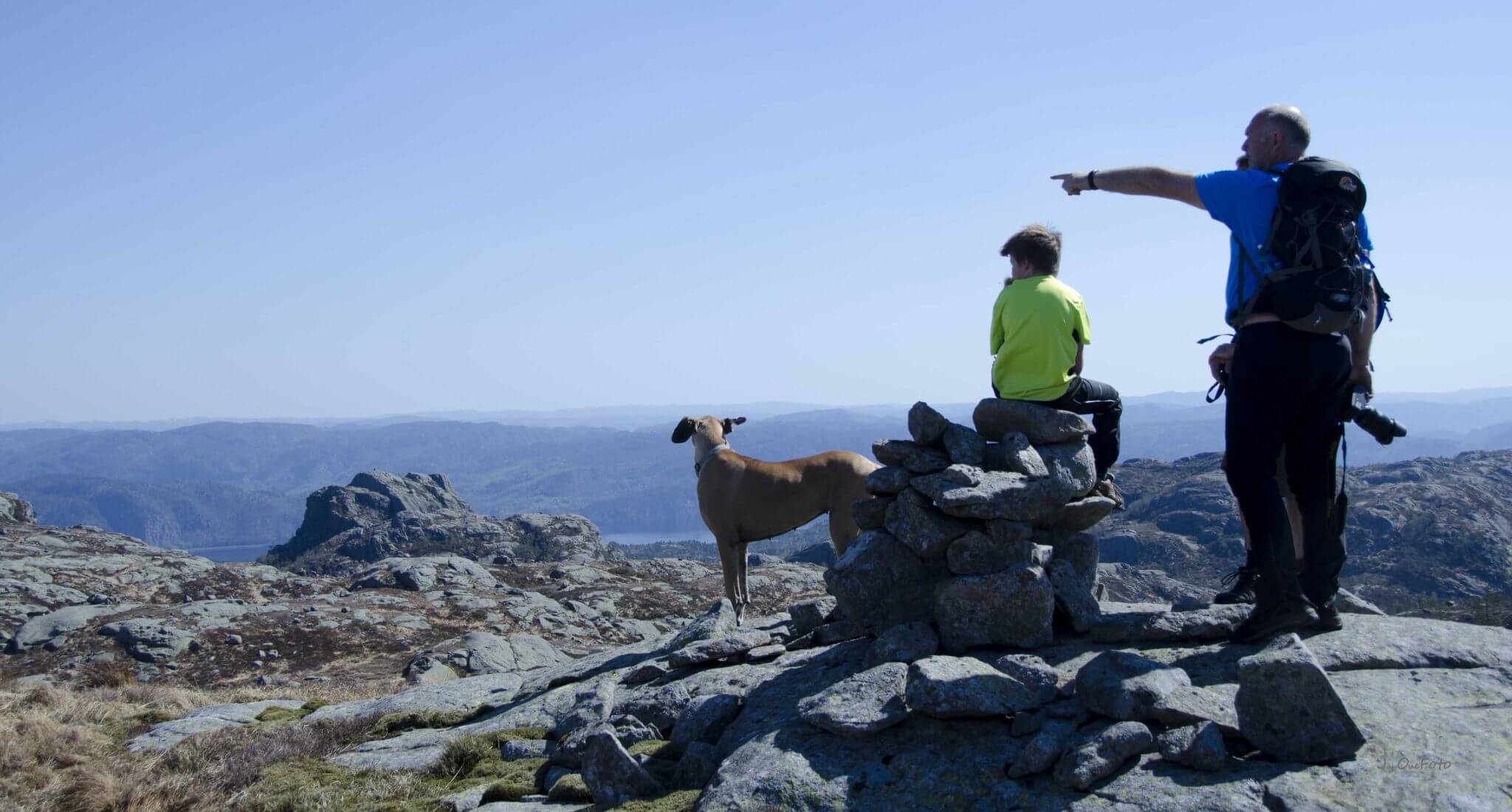
The hike passes by nature's own monument – large stones stacked on top of each other, called the Hattesteinene, surrounded by beautiful scenery.

About The Trip:
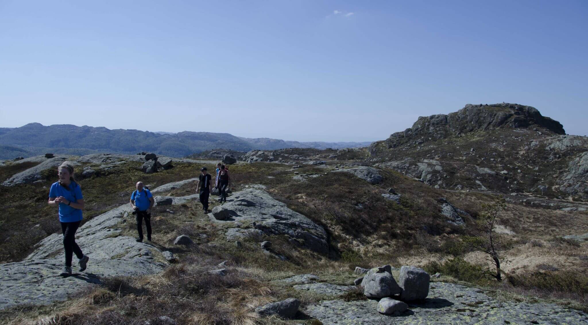
Starting from Gursli, follows the Experience in the Valleys of the trail, that follows the old gruveveien the way up to the mine. It is easy to go, the road is mostly dry and fine. Gruveveien goes in hairpin bends up the mountainside. In the last turn before skaret, we see a steep mountain on the right side, this is Gullbergknuten, 485 m above sea level. Follow the road on to the top of the Skaret.
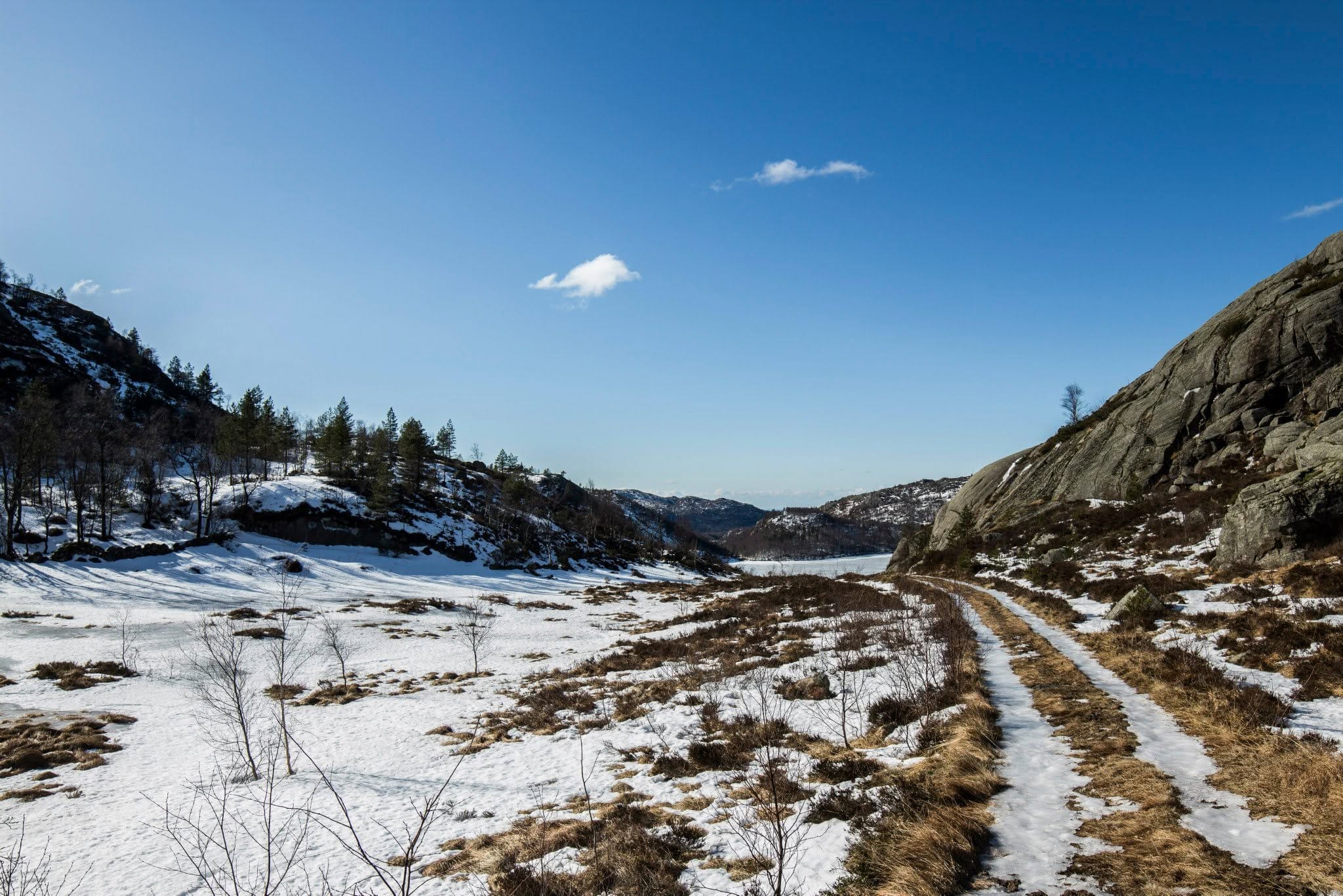
From here it is downhill all the way to the Gullvannet. By the water, it's nice to go swimming, picnicking and fishing. The road followed on the way up to the mines.
Category:
Active, Geopark, Historic places, cultural, Lund, Magma Geopark Sites, Top 20, Suggestions
See more experiences in Magma Geopark