Discover the island gem Hidra
Discover the island pearl of Hidra, where Southern Norway meets Western Norway. Striking nature, beautiful cultural landscape,…

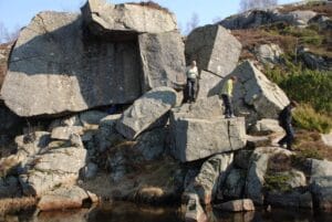
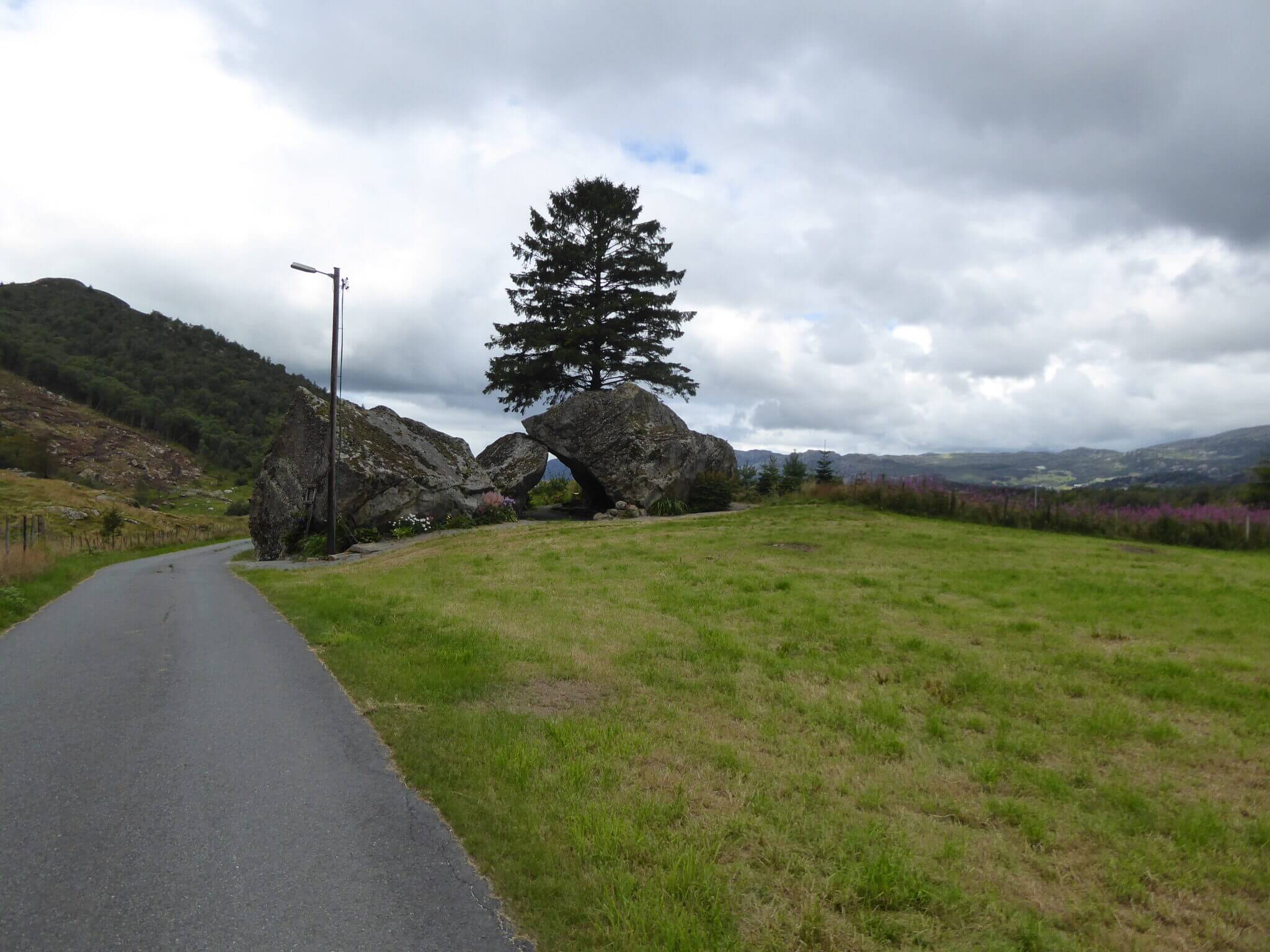
The singing stone is located at the edge of the forest above the farm Hellerstunet in Helleren in Lund municipality, at the municipal border with Egersund. The Syngesteinen is located close to the characteristic rock formation Helleren, which is a protected cultural monument. Archaeological investigations show settlement and human activity over 10,000 years, back to the Old Stone Age.
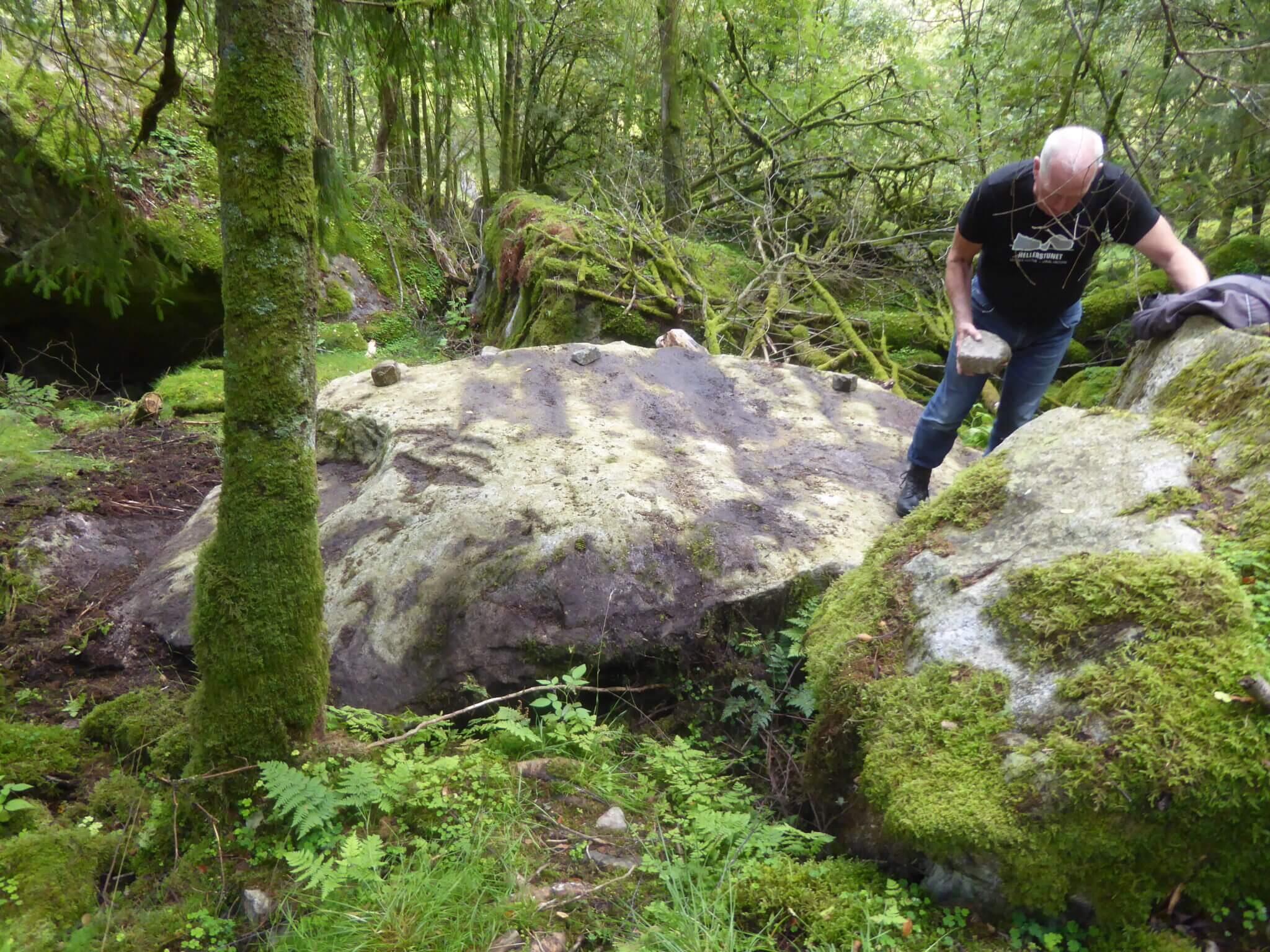
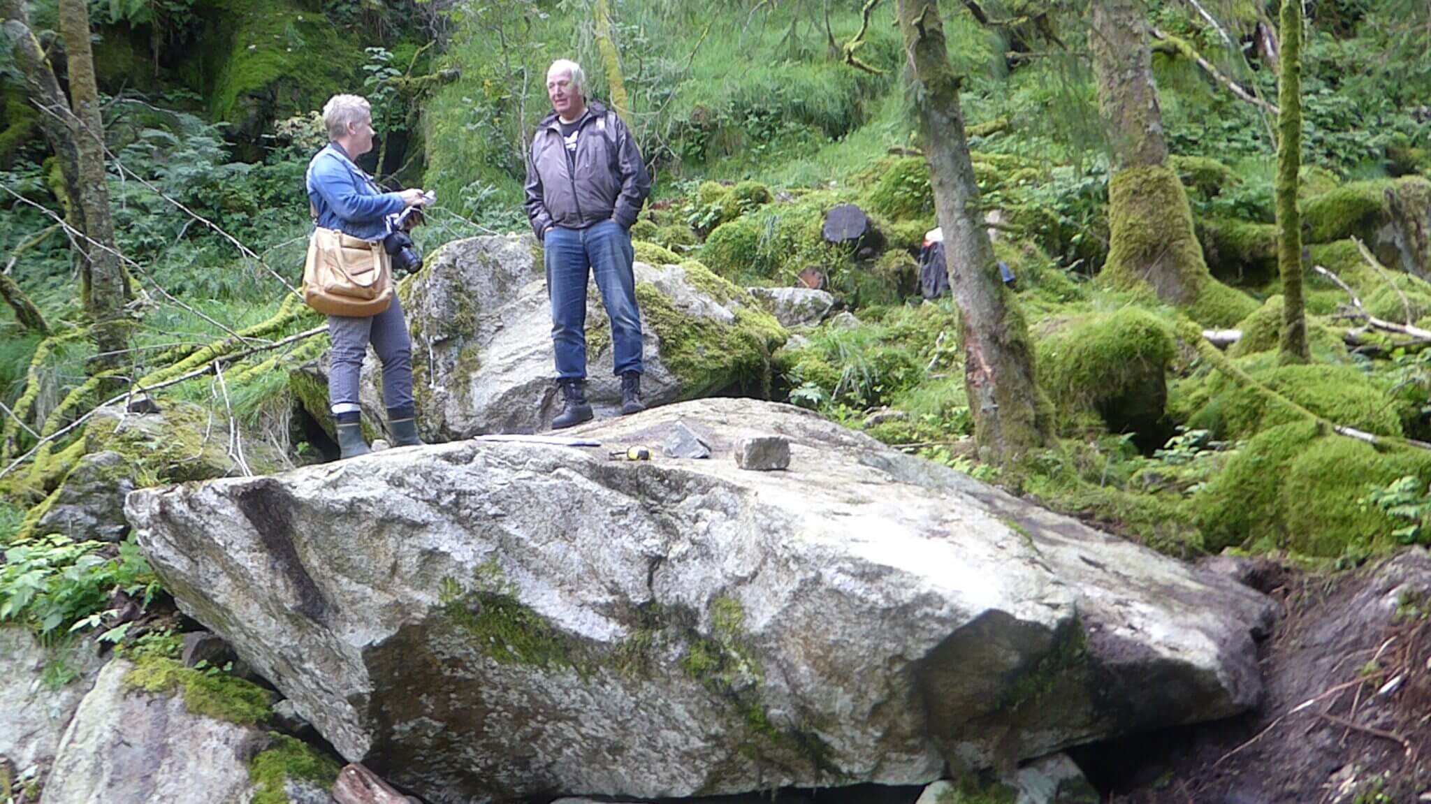
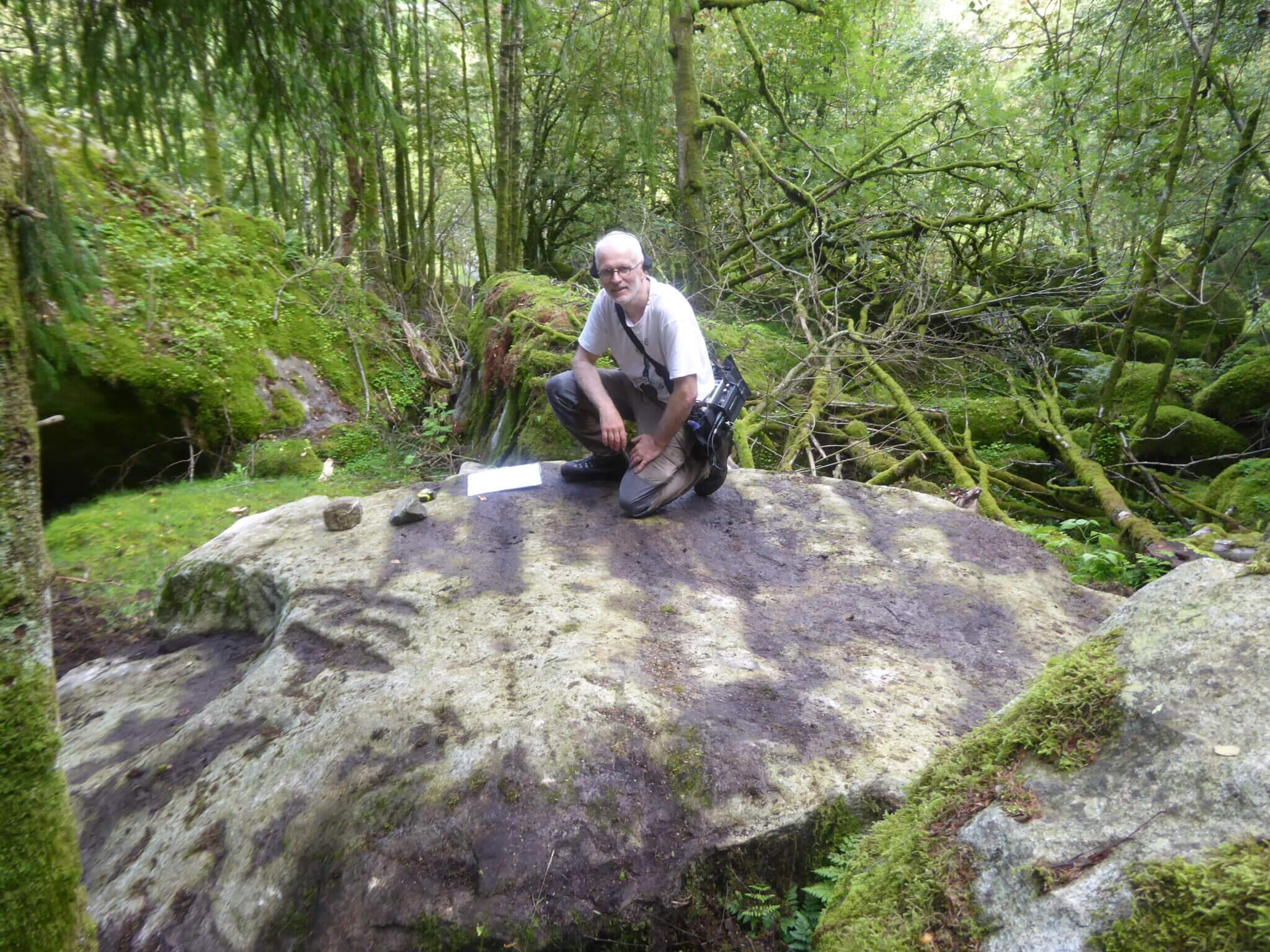
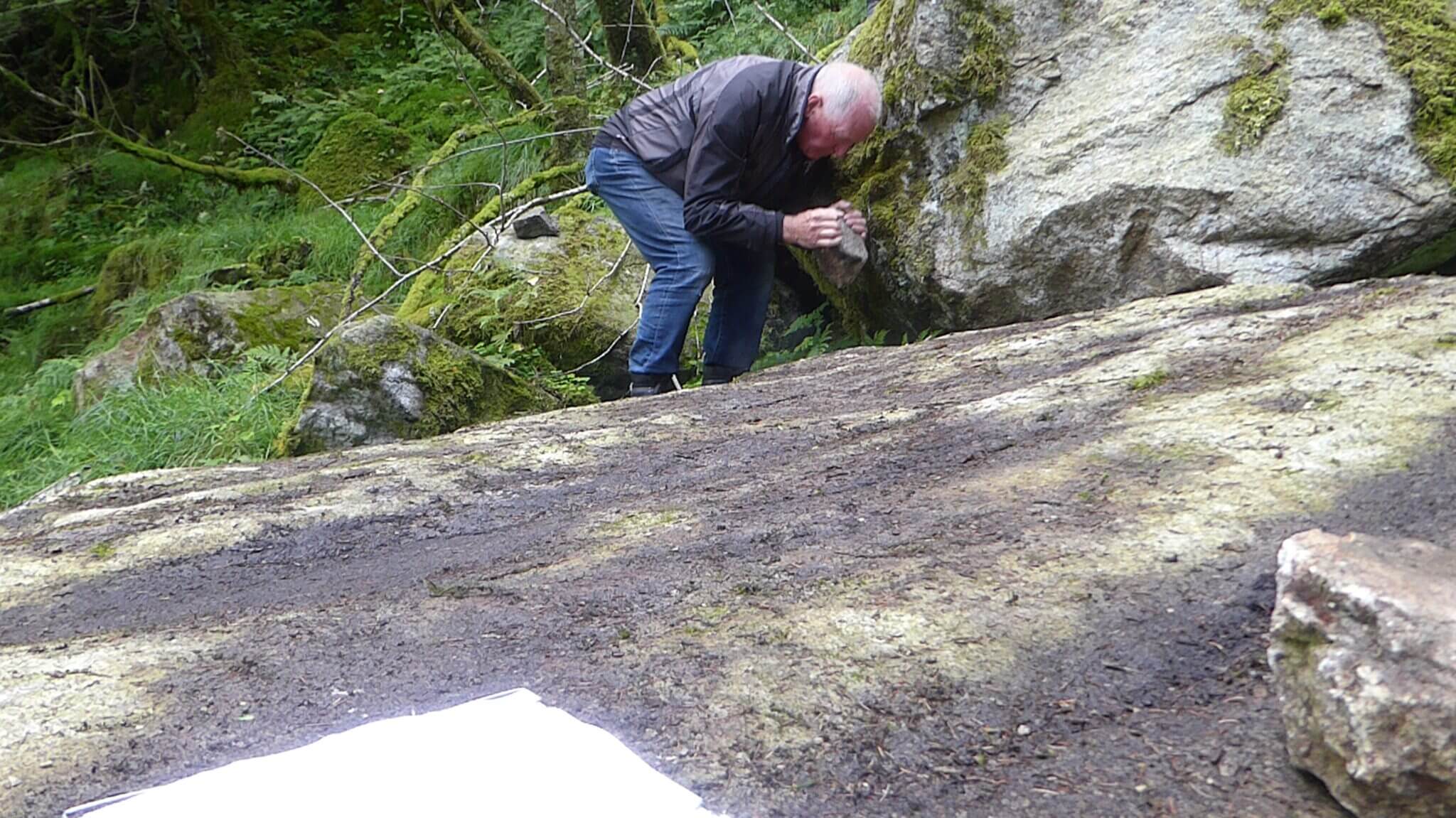
The singing stone, which is located in block land, measures approx. 4 x 2 x 1 metres. The volume is therefore around 8 m3. It is flat, almost like a slope, at the top, and leans with the landscape on the north-facing slope. No impact marks are visible, but the surface is slightly affected by weathering, so any marks may have been lost. The sound is produced by striking with a small stone. The sound is metallic and clear, with a pitch between F# and G. The sound is best at the ends, at a tip towards the north and the end on the other side. The vibration is heard and felt well at the opposite end of where you strike, so it is clear that the entire block is set in vibration.
There are no preserved legends or special stories connected to the stone, but people in the area have known about it. The landowner says that when they settled on the farm, they heard older people talking about the singing stone and that the school went on school trips there. After an elderly lady told them that she used to play on the rock as a child, they managed to locate the rock. In the middle of the 19th century, Helleren was a cluster farm. There is reason to believe that the singing road was a well-known phenomenon, as research shows settlement here for years and stories from the 19th century tell of a shuttle station, two merchants and great activity. The Syngesteinen is located a short distance from the characteristic Helleren, and the old barn, which is the only building left from the cluster yard.
When you reach E-39, Helleren is in Lund municipality, close to the municipal border with Egersund. If you come from the north, it is 11 km from Krossmoen. When you get to the municipal sign, turn right up Hellerenveien, left when coming from the south. Hellerenveien is originally Vestland's main road, opened 1843 – 44. This road was also E-18 at times. Parking is possible close to the E-39. If you drive up Hellerenvegen, there is a private car park for Hellerstunet on the left. A road has been made from Hellerstunet up to the syngesteinen, which is on the right side of Hellerenveien.

Category:
Geopark, Clock stones, Lund
See more experiences in Magma Geopark