Grønnes Sjøbad
Grønnes sjøbad is idyllically located, just a short walk from Flekkefjord...

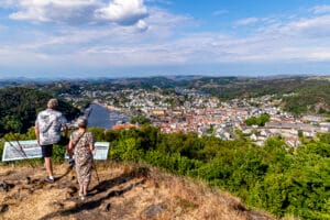
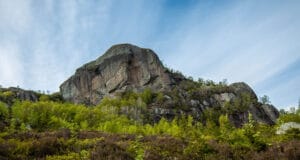
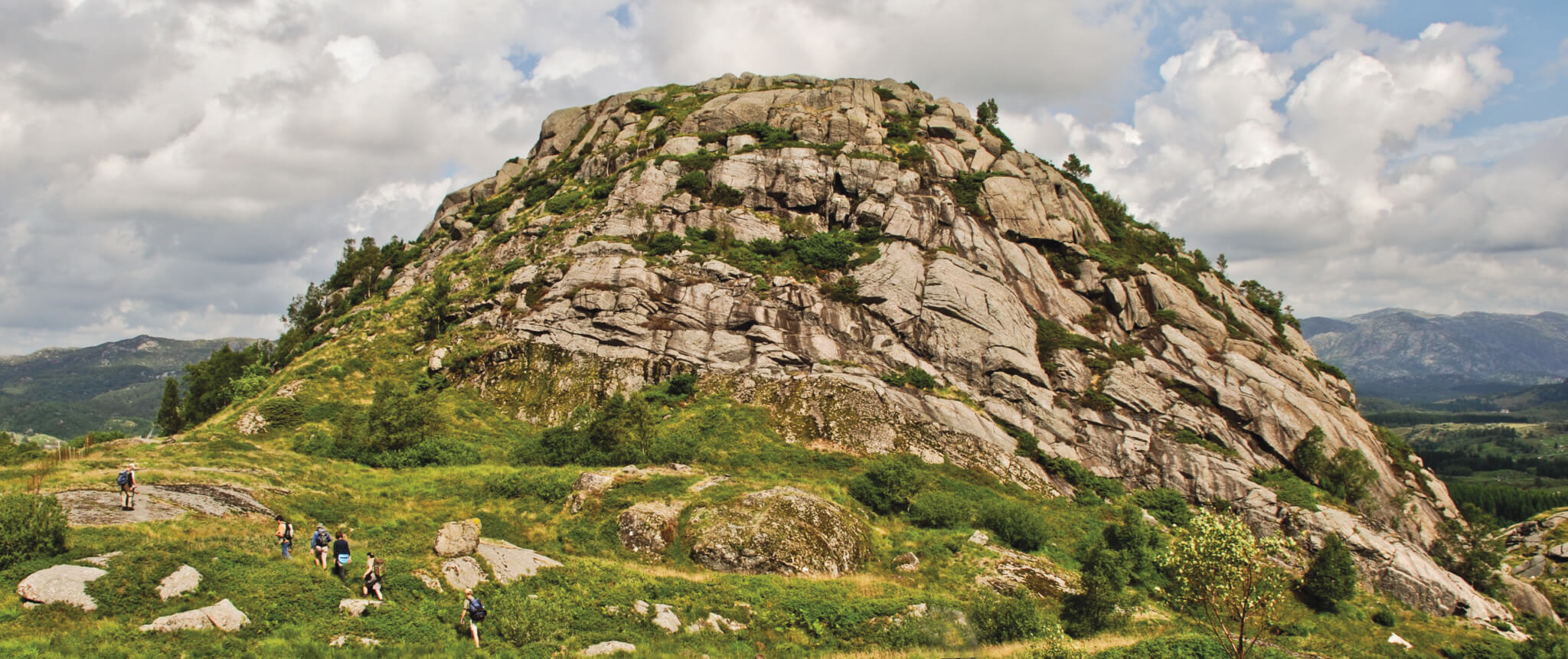
Storeknuten, with its easily visible layers of different rock types, is a unique geological treasure. It is also a great hiking destination with views in all directions.
Approximately one billion years ago, the Storeknuten area was part of a magma chamber 20 kilometres below the earth's surface. At this time, a very special phenomenon occurred. Liquid rock (magma) flowed up from the Earth's interior and penetrated existing rocks. The magma collected in a large magma chamber and gradually cooled down. The minerals in the magma crystallised at different times, leading to a layered organisation of the minerals. The result is what is known in technical terms as a layered intrusion.
The landscape has been exposed to erosion over millions of years, which is why we can see the layered intrusion today. At Storeknuten you can actually see the largest layered intrusion in Western Europe, which in this way is a unique geological clenodium.
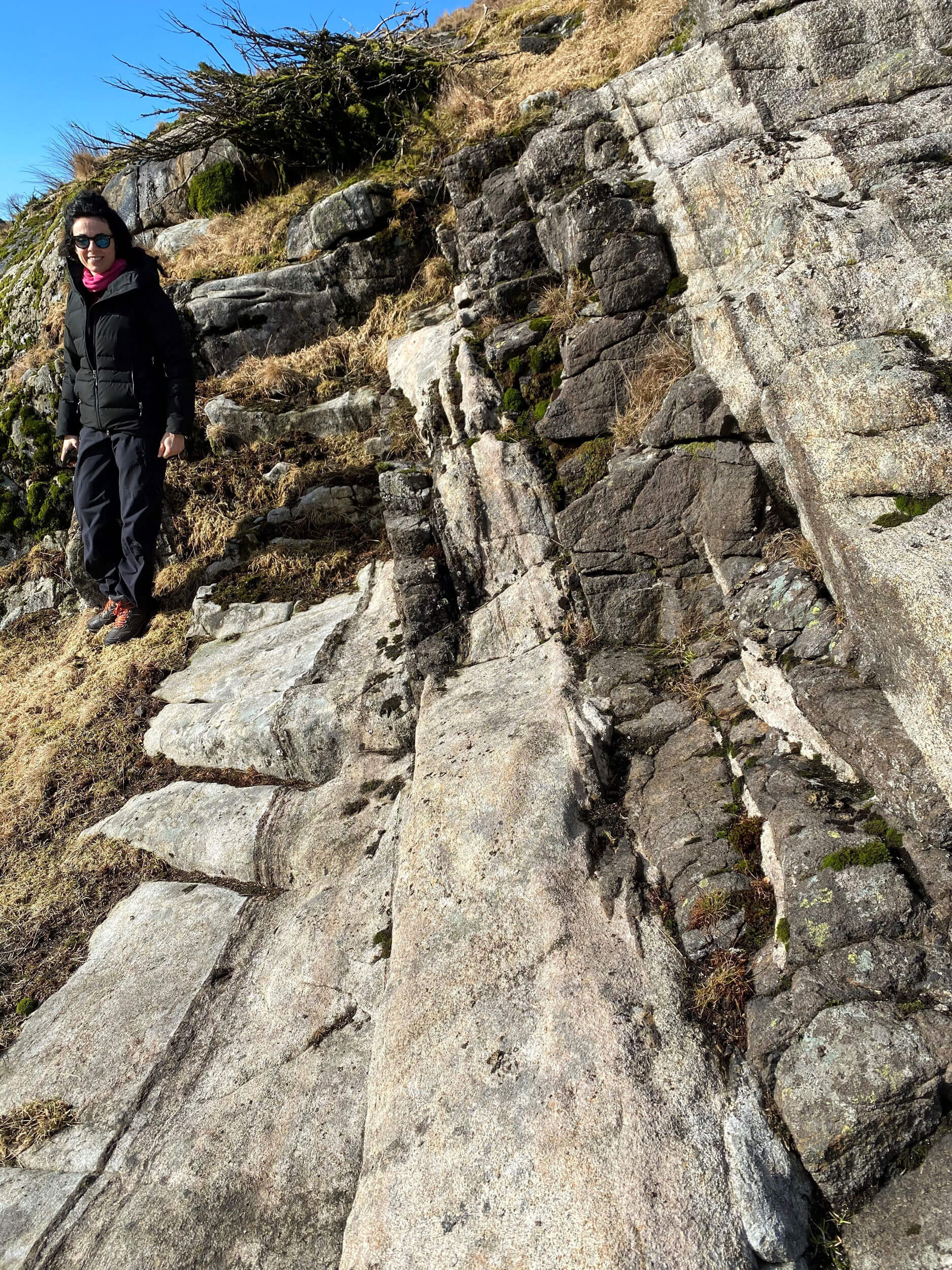
The trail to Storeknuten runs through well-developed layers of rock belonging to the Bjerkreim-Sokndal intrusion. At the bottom of Storeknuten you can see a layer that is completely covered in moss and vegetation. This layer consists of a rock that contains a lot of nutrients and creates good growing conditions. Above the green area is a layer consisting of a very nutrient-poor rock that weathers slowly and provides poor growing conditions - i.e. no vegetation. The transition to the nutrient-poor layer shows where new magma flowed in when the layered intrusion was formed.
The nutrient-rich rocks in the layered intrusion fertilise the soil, making the area around Storeknuten one of the best agricultural areas in Magma Geopark. The lush areas around Storeknuten form a clear contrast to the barren lunar landscape (anorthosite rock) that you see towards the coast.
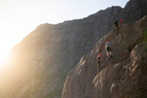
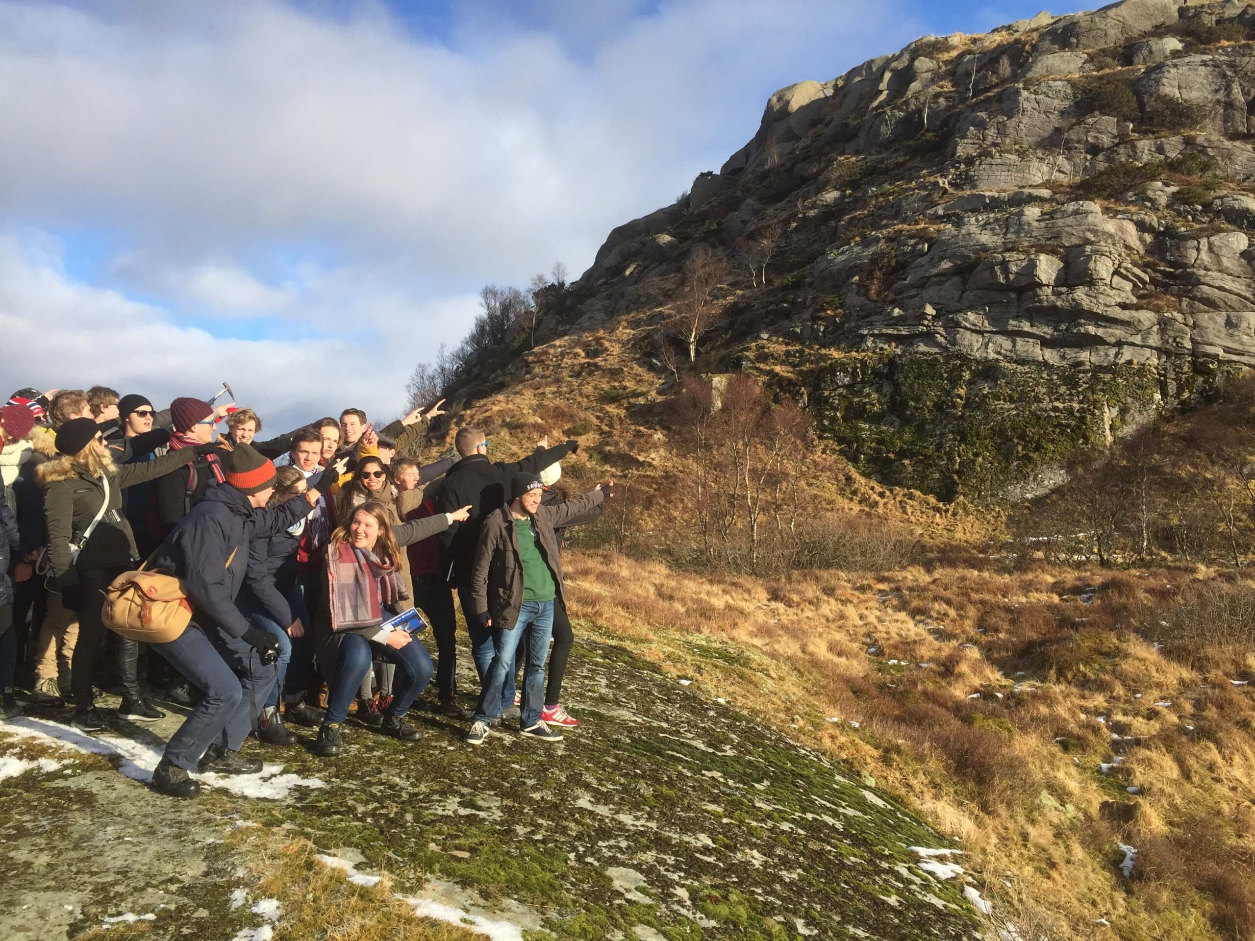
The actual ascent of Storeknuten is steep, but manageable for most people. From the top of Storeknuten, you have a fantastic view of the landscape and can really get a sense of the size of this ancient magma chamber that stretches some 40 kilometres from Sokndal in the southeast to Bjerkreim in the northwest. You are now standing on one of the most valuable geological sites in the Magma Geopark!
On Storeknuten there are remains of an old village castle from the Migration Period. The summit is difficult to access from all sides except the north-east. In the north-east you can therefore see the remains of walls built of large stones. Strongholds are natural defences and an important part of the cultural heritage of Magma Geopark.
From Egersund, follow the E39 towards Helleland. Turn off and drive south on the FV32 towards Eia. Follow the narrow, winding road up towards Drange. After a few hundred metres, the road flattens out and you will see the car park on your right. The trail starts from the car park. Please note that the trail is poorly marked in places due to recent logging.
Accessibility: Moderately difficult hike.
Duration: 1-3 hours.
Show consideration:


Category:
Active, Egersund, Geopark, Magma Geopark Sites, Suggestions
See more experiences in Magma Geopark