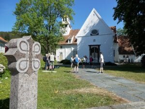
An echo from the past - visit Hellerstunet at Ualand
Hellerstunet located in the Valleys of the magnificent scenery of the Unesco...

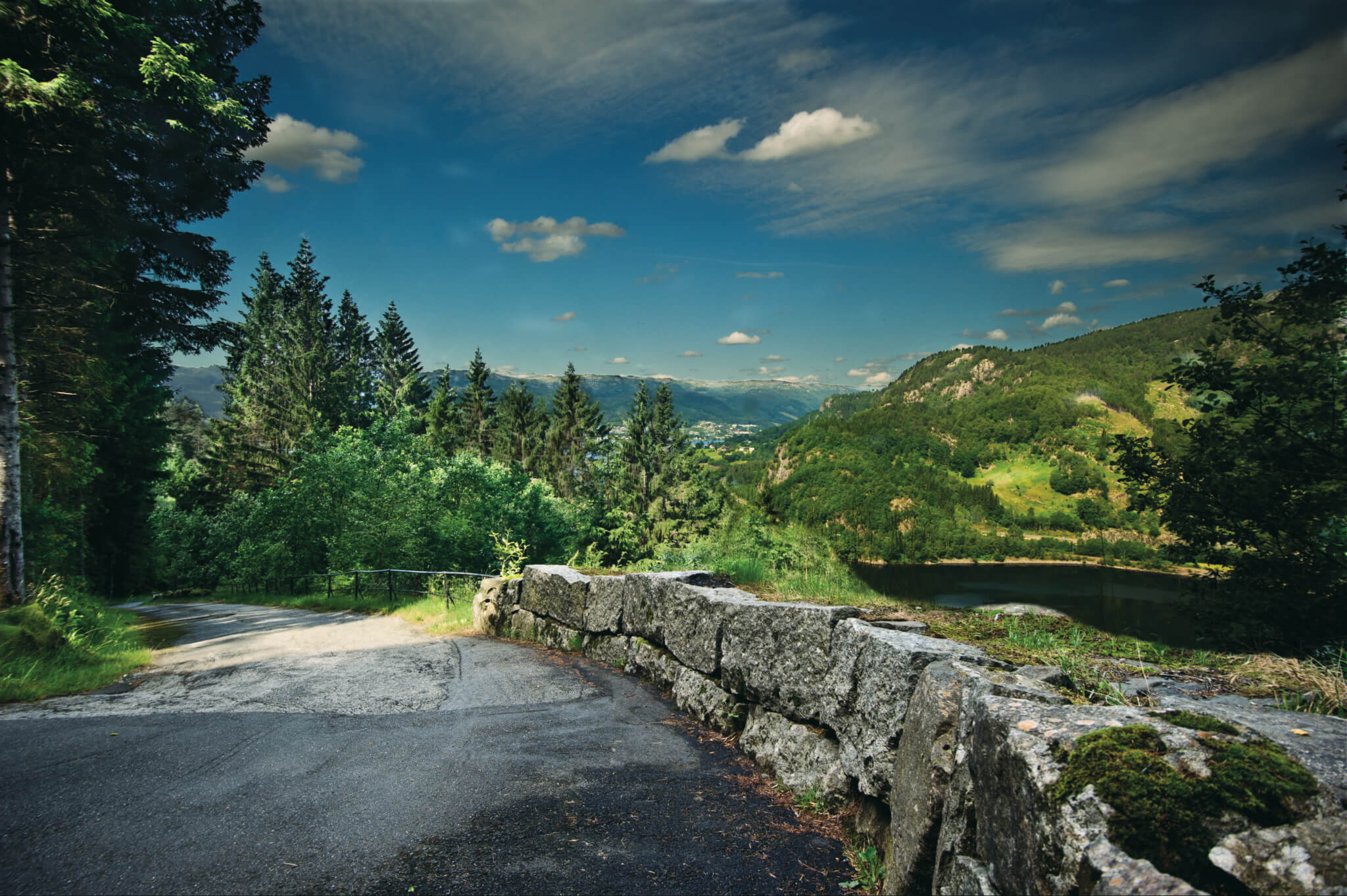
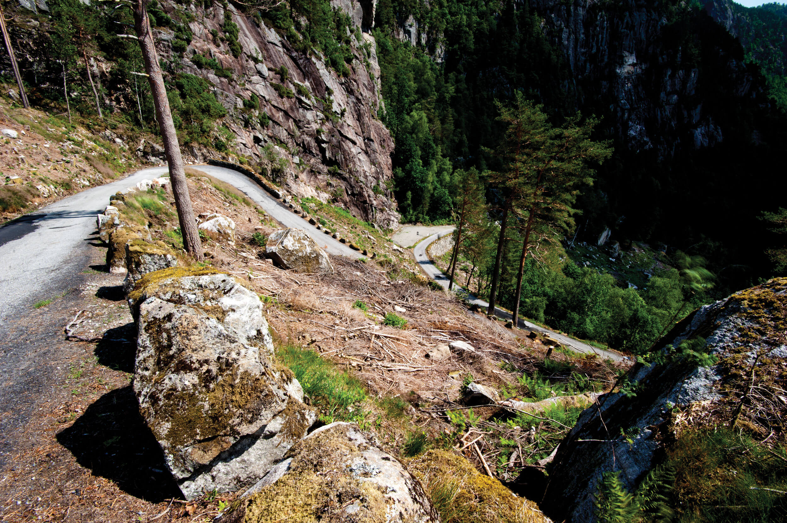
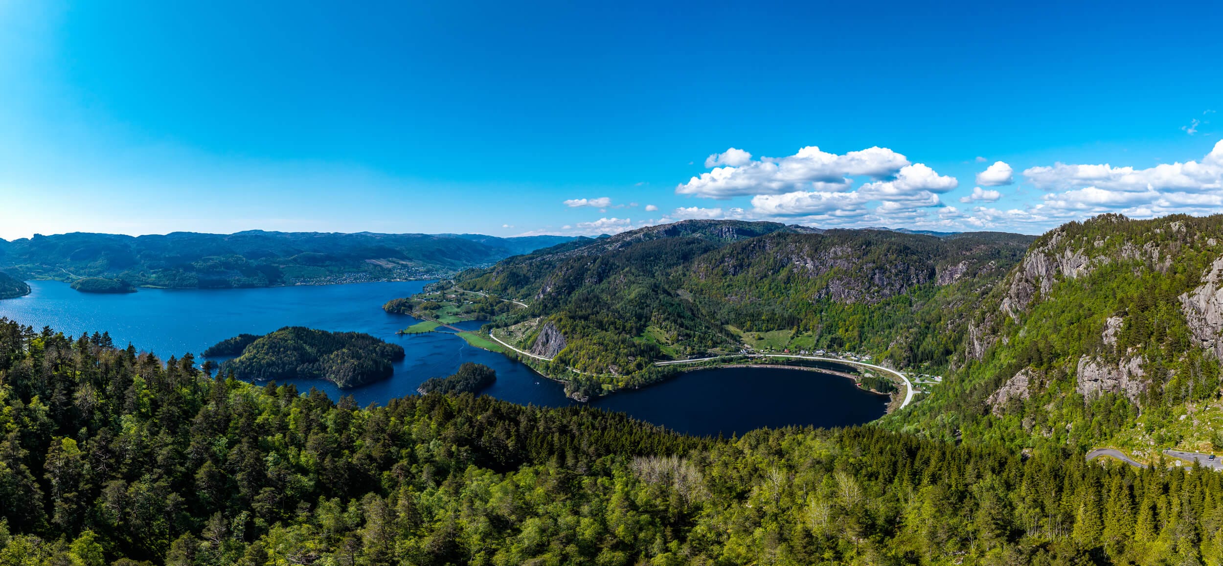
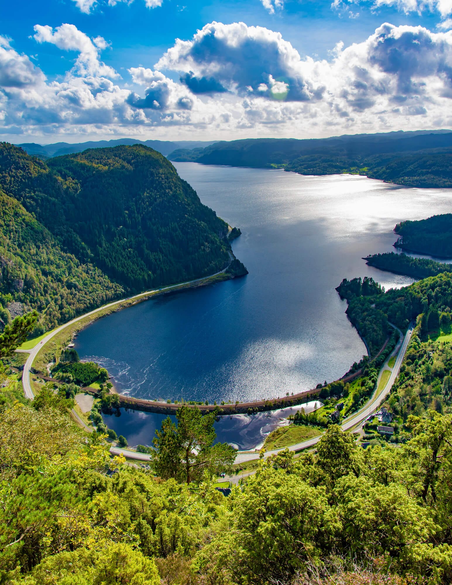
The road over Tronåsen, on the border between Rogaland and Vest-Agder, was built as part of the "Den Vestlandske hovedveg" (the West Norwegian Main Road). It was completed in 1844 and was the most challenging stretch of the West Norwegian Main Road. The road was constructed for horse transport, but even with a light carriage or cart, it was tough going for the horses.
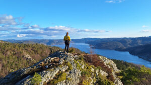
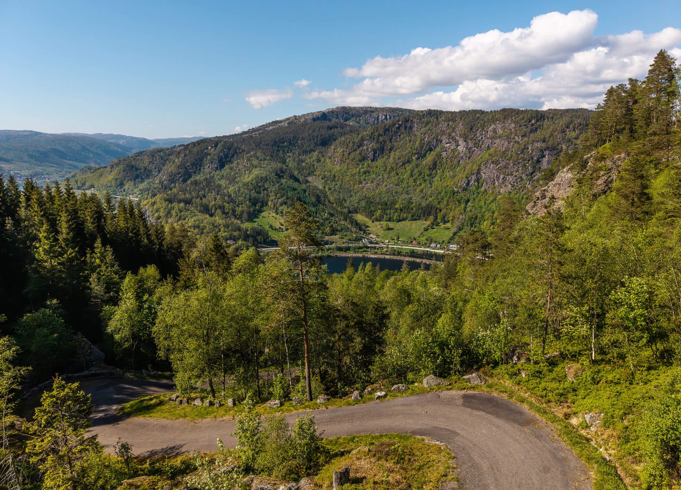
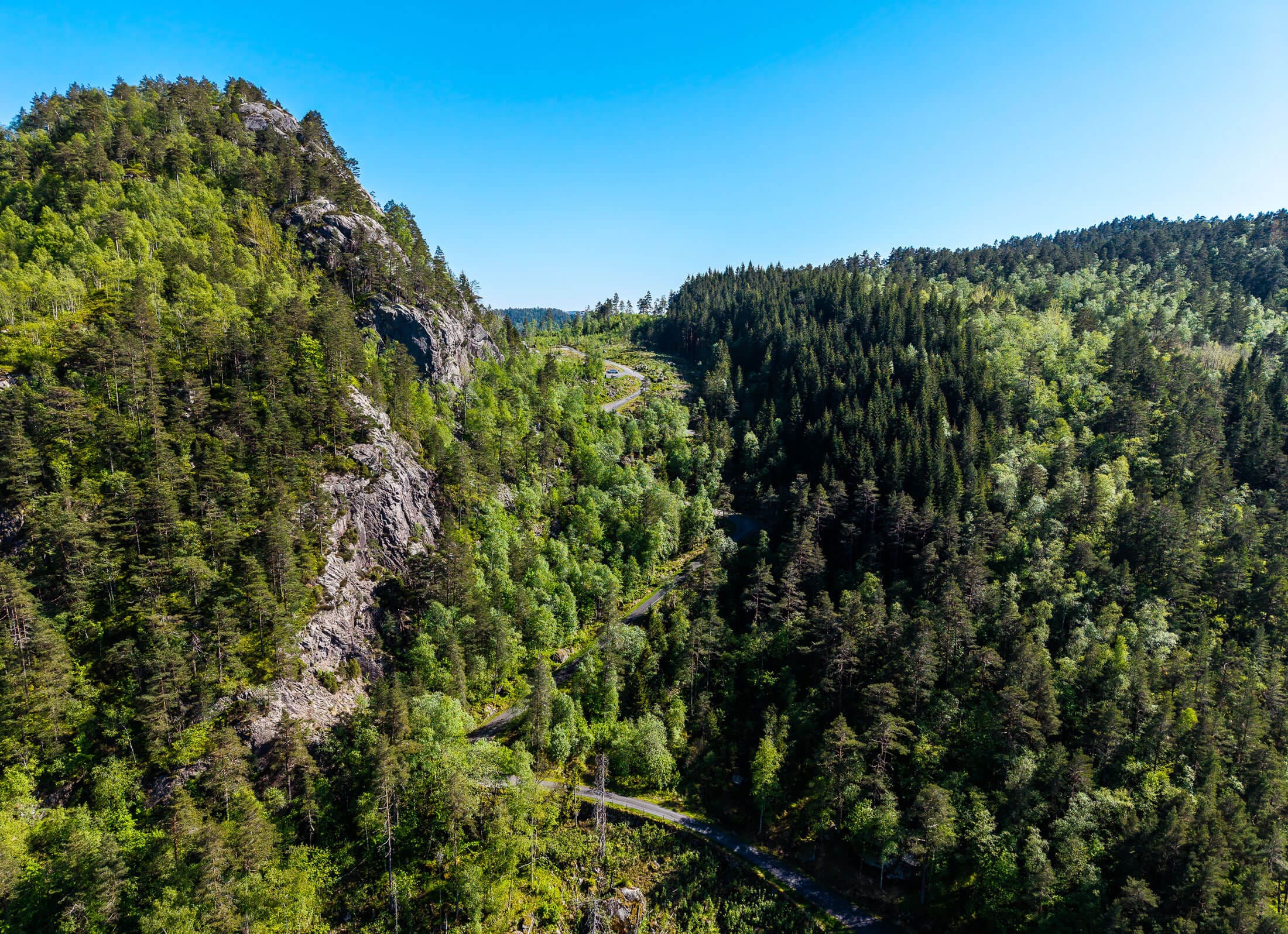
Tronåsen is a one-way journey from Tronevik (Rogaland) by car and minibus. There is a picnic area with information boards in Tronevik. Furthermore, there is a picnic area at the top of Tronåsen, where you can enjoy the overwhelming view out over Lundevannet. From Sira, you can drive a short distance up Tronåsen before the road becomes one-way. From there it is possible to walk to the top. The road over Tronåsen is open seasonally from 1 May to 1 September.
- Bringedalshytta - with dormitories, cooking facilities and an outhouse
- Gamme and lavvo - for those who want to sleep close to nature
- Gapahuk by the pond - perfect for a coffee break or overnight stay
- Fishing opportunities - bring your rod!
Bring your colleagues, friends or family - and discover Bringedal. Nature, history and community await you here
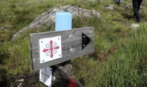
Read more: Hiking suggestions, Bringedal
Tronåsen was opened in 1844 and served as the main road from Stavanger to Kristiansand for 100 years, until 1945. It was known as the most difficult part of the road along the southern coast, with a gradient of 1:3 and 11 sharp turns. It was not uncommon to push cars and buses uphill. In 1931, Tronåsen was considered one of the most dangerous parts of the Monte Carlo Rally, with many cars being damaged in attempts to navigate it. Every five years, a highly popular vintage car race is held over Tronåsen, and the Tronås March is organized annually.
Tronåsen road was designated as a protected area in 2009.
Along the West Norwegian Main Road, several fine bridges were constructed. The most common type were stone arch bridges, especially in the vicinity of Tronåsen. There are two such bridges in Tronevik and one in Sira. Stone arch bridges have been used in Norway since the 1600s, and they have shown excellent load-carrying capacity, even accommodating large vehicles. The bridges in this area date back to around 1840.
East of Tronåsen, you will also find a highly notable suspension bridge. It is Bakke Bridge, which was built in 1844.
Tronåsen was once every driver's dread. As Model T Fords and buses of that era crawled up the steep slopes and nervously descended them, both passengers and drivers peered out over the rugged landscape with considerable apprehension. A recurring concern was whether the brakes would hold. Some drivers even tied a tree branch to their vehicles to help slow them down on the steep descents. Most cars were heavy and had small engines in the early days of motoring. Consequently, many had to reverse up hills due to lower gears in reverse. Engines often overheated, and it was not uncommon for passengers to get out and push during the initial period. Buses faced challenges navigating the sharp turns; when they couldn't make a turn in one go, they had to reverse, necessitating stones behind the wheels to secure the bus in place.
About 1 billion years ago, all the land masses on Earth were gathered together as a "supercontinent" called Rodinia. The area that became Southern Norway was dominated by an old mountain range. Mountain ranges are formed when continents collide and are pushed together. Rocks near the surface are pushed up to form mountains, while deeper rocks are pushed down to form the roots of mountain ranges. The mountains in the Tronåsen area are the roots of an old mountain range that has eroded away a long time ago. The roots of the Himalayas look like this area, but are still tens of kilometers below snow-capped mountain peaks and eight times hotter than boiling water. The mountains here are not only very old, they have also traveled a long way. When they were part of Rodinia 1 billion years ago, southern Norway was located near the equator.


Category:
Active, Geopark, Historic places, Autumn, cultural, Lund, Magma Geopark Sites, Summer, Top 20, Suggestions, Our
See more experiences in Magma Geopark